Boundary & Property Line Surveys You Can Trust
Clear, reliable boundary information from licensed surveyors.
Accurate Boundary Surveys You Can Rely On
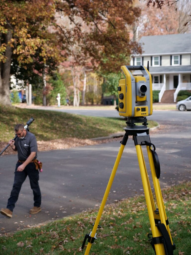
Our licensed survey team provides precise boundary measurements, clear documentation, and dependable results to help you build or make property decisions with confidence.

Local Expertise
We’re locally owned. We live in the Richmond and Norfolk areas, and we work all over Virginia!

Fast Delivery
Our surveyors don’t get pulled away on large civil projects or for overnight travel. We get the work done fast so that you get results quickly.

Quality Work
We excel at residential, boundary, and ALTA surveys. Because we focus on one area of surveying, you get high-quality work you can trust.
Why Boundary & Property Line Surveys Matter
A precise boundary survey defines the exact limits of your land, documents existing improvements, and identifies any encroachments that could impact construction or future plans. Using advanced equipment and proven methods, our team delivers accurate, detailed results that support smooth transactions, reduce disputes, and ensure compliance with permitting requirements. With clear, professional boundary data, you can make confident decisions about your property.

Boundary Survey FAQs
What is a boundary survey?
A boundary survey identifies the exact legal limits of a property by locating corners, measuring lines, and documenting improvements or potential encroachments. It provides an official map showing where your land begins and ends.
When do I need a boundary or property line survey?
You need a boundary survey when buying property, planning construction, resolving disputes, or verifying your lot lines for legal or permitting purposes.
How accurate are boundary surveys?
Licensed surveyors use professional-grade equipment and research recorded documents to ensure highly accurate results. Our measurements follow Virginia state standards and industry best practices for precision.
What does a boundary survey include?
A typical boundary survey includes marked property corners, boundary line measurements, locations of visible improvements, and a certified plat (drawing) showing the property layout, dimensions, and notes about encroachments.
How long does a boundary survey take?
Most residential boundary surveys are completed within a few days to a couple of weeks, depending on property size, terrain, and available recorded documents. Larger or complex sites may require additional time.
Do I need a survey before making changes to my property?
In many cases, yes. A boundary survey provides accurate property lines, identifies potential encroachments, and helps ensure your project complies with local regulations. Whether you’re planning construction, landscaping, or site improvements, having precise survey data helps prevent disputes and supports smooth permitting.
Will the surveyor mark the property corners?
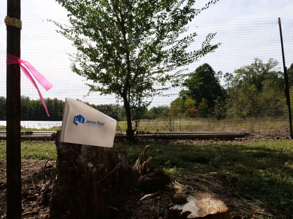
Yes. We locate and mark property corners with stakes or flags so you can easily identify your boundary points for future reference.
How much does a boundary survey cost?
Costs vary based on property size, terrain, vegetation, and the amount of research required. Smaller residential lots are generally less expensive, while larger or wooded parcels may cost more. Send us a text or email with your address and we can give you a quote!
Client Testimonials
"From booking the appointment to having the survey completed, this was quick and easy! So happy to have them come out before we got our fence installed. Highly recommend!"
"James River Surveying made the entire process smooth and stress-free. Bryan, Wes, and the whole team communicated clearly at every step and were always quick to respond."
"This company was AMAZING!!! The customer service was superb (from start to finish) and they delivered me a survey of my property on very short notice. I highly recommend James River Surveying!"
Clear Answers for Every Property Question
Reliable Boundary Surveys for Projects, Planning, and Peace of Mind
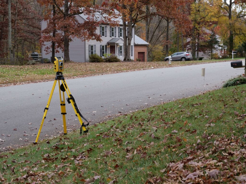
Property boundaries shouldn’t be a mystery. Our Boundary & Property Line Surveys provide the verified, legally defensible information you need to move forward with confidence. Whether you’re preparing for a sale, planning a construction project, or resolving a dispute, we deliver precise measurements and clear documentation tailored to your property. Using advanced surveying technology and proven field methods, our team ensures that every line, corner, and feature is accurately identified, so you always know exactly where your rights begin and end.
Ready to Get Your Survey?
Get accurate, reliable surveying services from a trusted local team serving Virginia.