
Trusted Surveying for Every Project
Complete, Lender-Ready Surveys
Our ALTA surveys meet all national standards and include the detailed information required by title companies, lenders, and attorneys—ensuring a smooth, fully compliant closing.
Accurate Mapping of Improvements & Easements
We document all visible improvements, utilities, encroachments, and easements so you understand exactly how the property can be used, developed, or financed.
Essential for Commercial & High-Value Properties
Whether you’re purchasing, refinancing, or developing a commercial site, an ALTA survey provides a clear foundation for informed decision-making.
ALTA Surveys
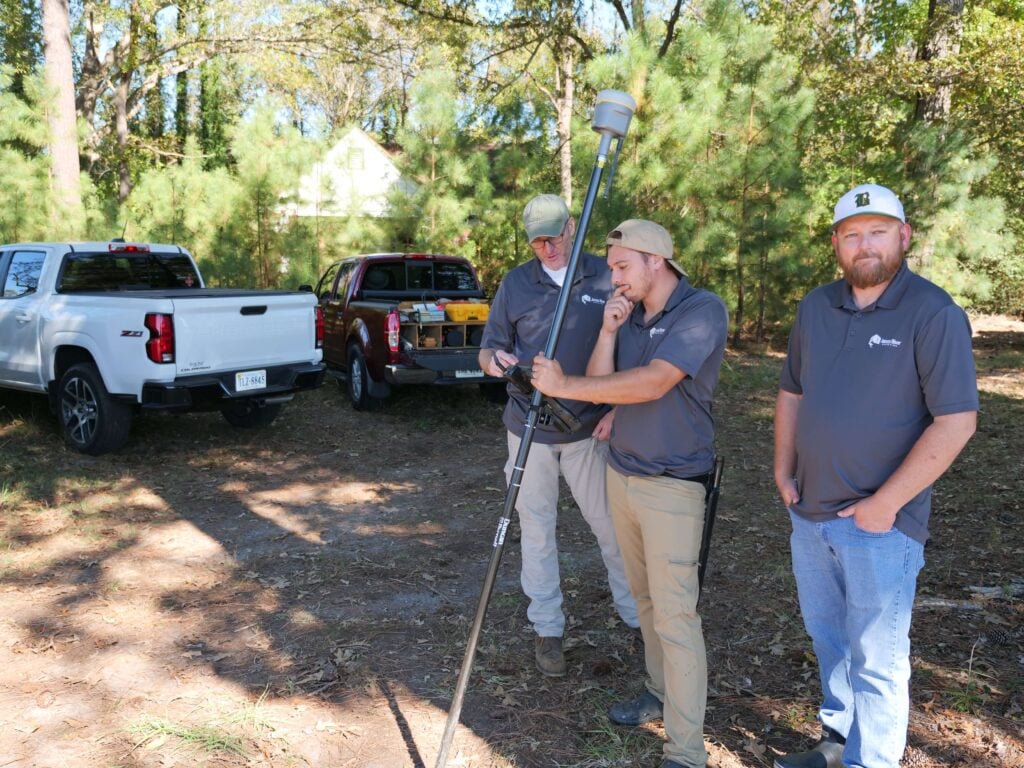
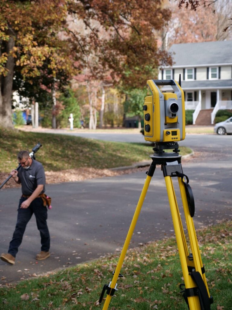
Get the highest level of survey detail with our ALTA/NSPS Land Title Surveys. Designed for commercial transactions, refinancing, and major development projects, our ALTA surveys provide comprehensive, lender-ready documentation of your property’s boundaries, improvements, easements, and site conditions. These surveys meet or exceed ALTA/NSPS agreed upon standards.
Accurate, Legally Defensible Measurements
We identify and mark your exact property boundaries using advanced equipment and proven methods, ensuring you always have clear and reliable data.
Clear Documentation for Confident Decisions
You’ll receive detailed mapping and professional reporting that make it easy to understand your property lines and move forward with certainty.
Boundary & Property Line Surveys

Know exactly where your property begins and ends with our precise Boundary & Property Line Surveys. Perfect for construction planning, home expansions, and resolving boundary disputes, these surveys provide accurate, defensible measurements for any project or legal requirement. They’re also ideal if you simply want clarity on what land is yours—whether you’re confirming what you own, what you purchased, or what you’re preparing to buy.
FEMA-Approved, Insurance-Ready Documentation
Our certificates meet all FEMA and NFIP standards, giving insurers and local authorities the precise elevation data required for accurate flood insurance assessments.
Critical Information for Building & Compliance
We measure essential structural elevations and floodplain details to help you plan safely, meet code requirements, and avoid costly delays.
Clear Data for Smarter Property Decisions
With easy-to-read reporting and verified measurements, you gain the clarity needed to understand your flood risk and protect your investment.
Elevation Certificates

Ensure your property is accurately assessed for flood insurance, compliance, and building requirements with a certified Elevation Certificate. We document key elevation data, structure heights, and flood-zone details so you can make informed decisions and meet FEMA and insurance guidelines.
Precision You Can Count On
We carefully measure and document your property using advanced tools to ensure accurate, dependable survey results.
Straightforward Records, No Guesswork
Our clear mapping and easy-to-understand documentation make it simple to interpret your property information and plan next steps.
Land Surveys

Our Land Surveys help you clearly understand what you own and how your property is defined. From planning a home project to resolving questions about land ownership, we provide precise measurements and reliable documentation you can trust. Whether you’re building, buying, or simply seeking peace of mind, our surveys give you a clear picture of your property.

Local Expertise
We’re locally owned. We live in the Richmond and Norfolk areas, and we work all over Virginia!

Fast Delivery
Our surveyors don’t get pulled away on large civil projects or for overnight travel. We get the work done fast so that you get results quickly.

Quality Work
We excel at residential, boundary, and ALTA surveys. Because we focus on one area of surveying, you get high-quality work you can trust.
Accurate Boundary Verification for Fencing
We confirm the exact location of your property lines before installation, helping you avoid costly mistakes, removals, or neighbor disputes.
Ideal for New or Replacement Fences
Whether you’re installing a fence for privacy, security, or curb appeal, our survey ensures your project starts with clear, reliable data.
Clear Marking & Documentation
We provide visible boundary markers and professional mapping so your fencing contractor knows exactly where to build—no guesswork, ever.
Fence Surveying

Make sure your new or replacement fence goes exactly where it belongs. Our Fence Line Surveys provide precise, verified boundary information so you can build confidently and avoid disputes with your neighbors.
Clear Setback & Buildable Area Verification
We identify required setbacks and property constraints so you know exactly where you can build to comply with local regulations.
Accurate Measurements for Permits & Planning
Our surveys deliver the precise data architects, builders, and permitting offices need—reducing delays and preventing costly revisions.
Essential for Expansions of Any Size
Whether you’re adding a room, expanding your footprint, or building upward, we provide the reliable site information needed to move forward with confidence.
Home Addition Surveys

Before expanding your home, you need accurate property data you can count on. Our Home Addition Surveys provide verified boundary measurements, setback documentation, and site details that support smooth permitting and confident planning for any addition, ADU, or detached garage.
Accurate Mapping for Boundary Changes
We document existing and proposed property lines with precision, ensuring all adjustments follow local regulations and are ready for review by planning departments.
Essential for Subdivisions & Property Reconfiguration
Whether you’re combining lots, dividing land, or updating boundary lines, our surveys provide the verified data needed to finalize legal descriptions and plats.
Clear Documentation for Smooth Approvals
Our detailed plats and professional reporting make municipal approvals easier, helping you avoid delays and move your property plans forward without uncertainty.
Subdivisions & Lot Line Adjustments

Reconfiguring property boundaries or creating new parcels requires precise, legally sound surveying. Our Subdivision & Lot Line Adjustment services provide accurate mapping and clear documentation to support subdivisions, boundary changes, and property agreements with confidence.
Detailed Elevation & Terrain Mapping
We measure contours, slopes, and ground features to give architects, engineers, and builders the data needed for effective planning and design.
Critical Information for Grading & Drainage
Our surveys reveal how water flows across your property, helping prevent future drainage issues and informing smarter site development.
Comprehensive Data for Design & Construction
From contours to key surface features, we deliver a complete site picture so your project begins with accurate, up-to-date information.
Topographic & Site Surveys

Understand your land’s true shape and features with precise Topographic & Site Surveys. We capture elevations, contours, drainage patterns, and site details to support engineering, design, grading, and construction planning with accuracy you can rely on.
What Our Clients Say
"From booking the appointment to having the survey completed, this was quick and easy! So happy to have them come out before we got our fence installed. Highly recommend!"
"James River Surveying made the entire process smooth and stress-free. Bryan, Wes, and the whole team communicated clearly at every step and were always quick to respond."
Check out our hundreds of 5 star reviews on Google!
Ready to Get Your Survey?
Get accurate, reliable surveying services from a trusted local team serving Virginia.