
Orange County’s blend of historic properties, farmland, and growing residential areas requires careful land research and precise fieldwork. We support property owners, builders, and real estate transactions with accurate, timely surveying services.

Detailed boundary mapping to verify your exact lot limits and any encroachments.
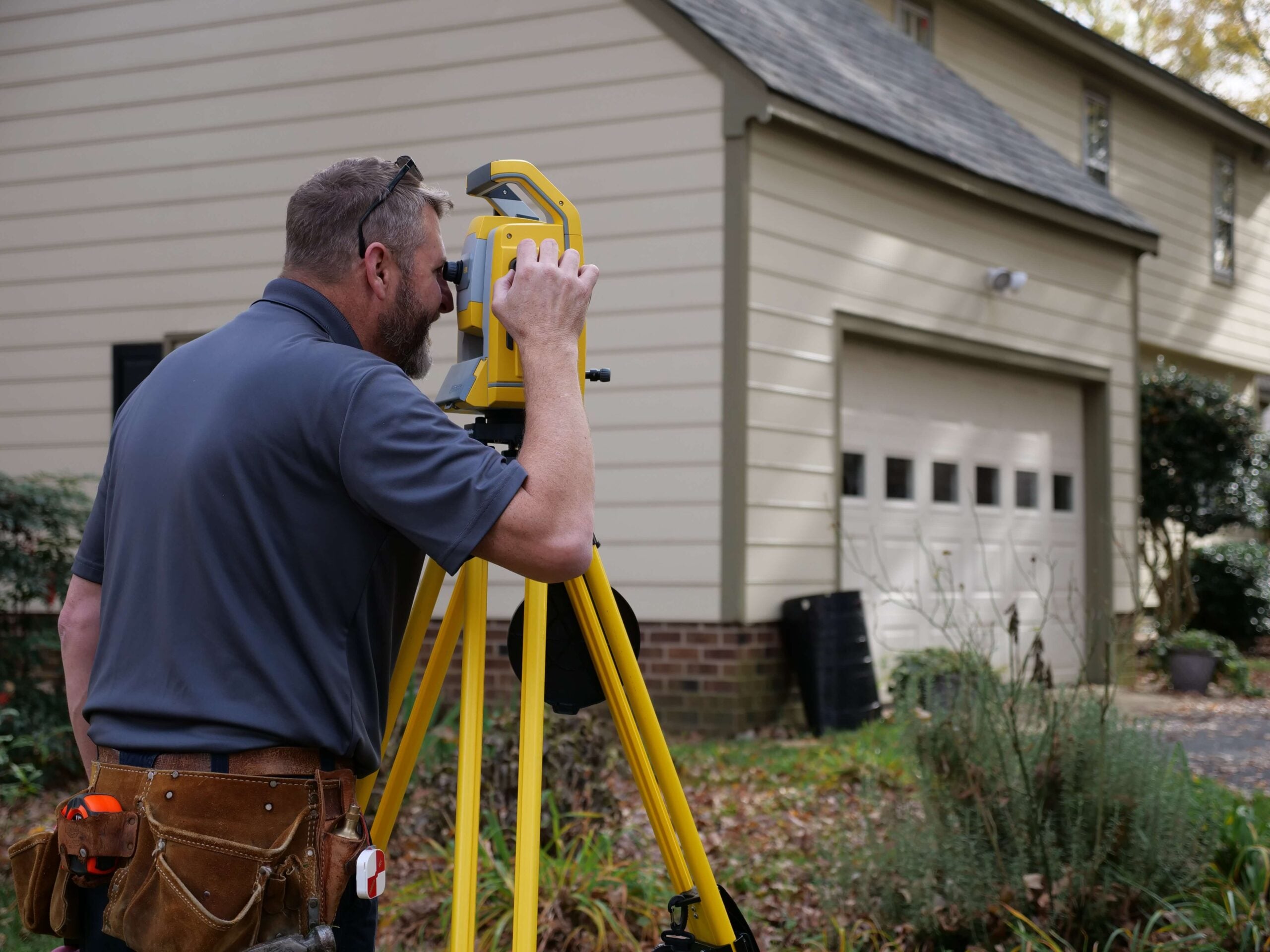
Precise surveys that ensure your fence is placed correctly.
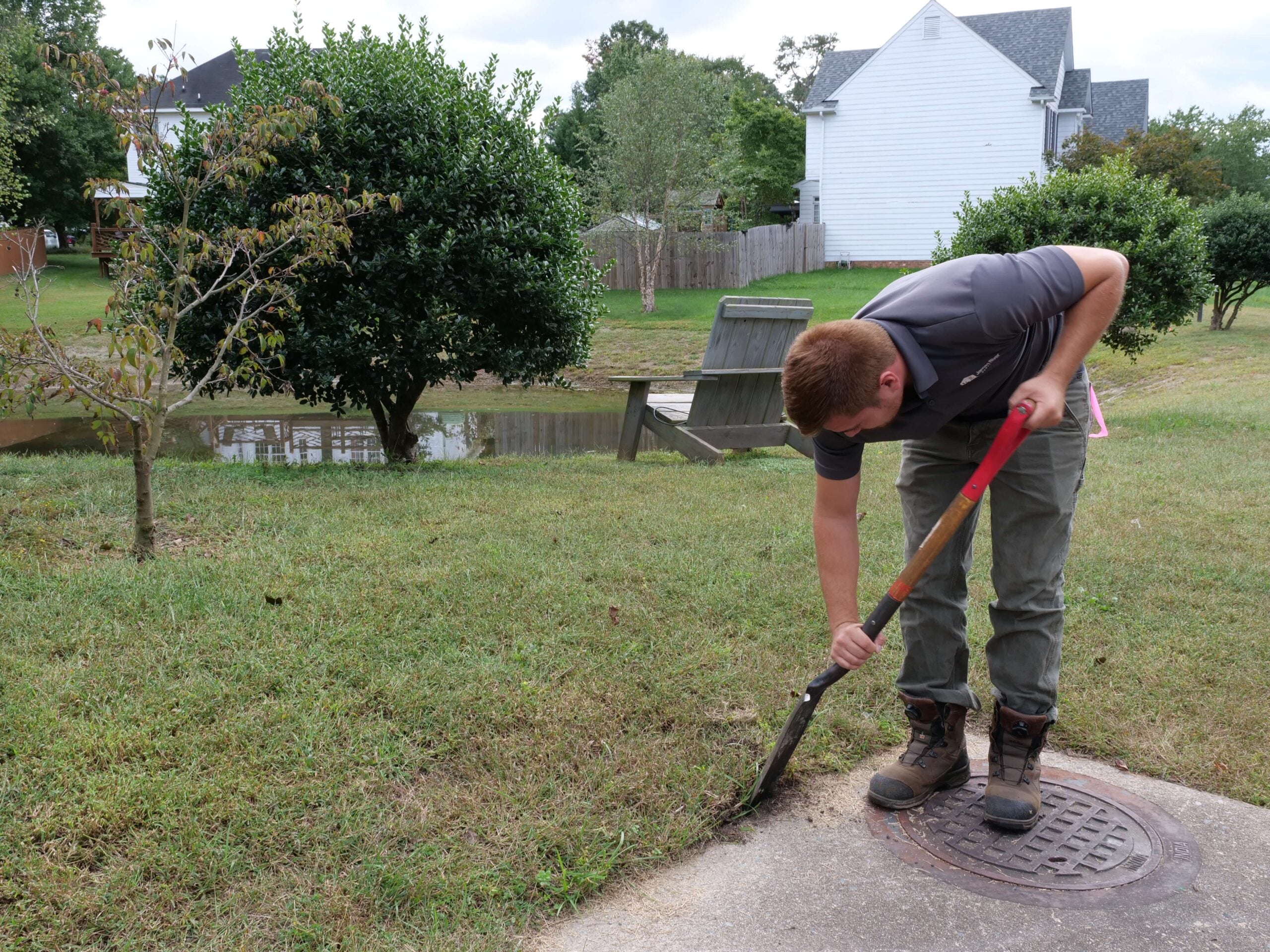
Trusted surveys for additions, garages, and screened-in porches.
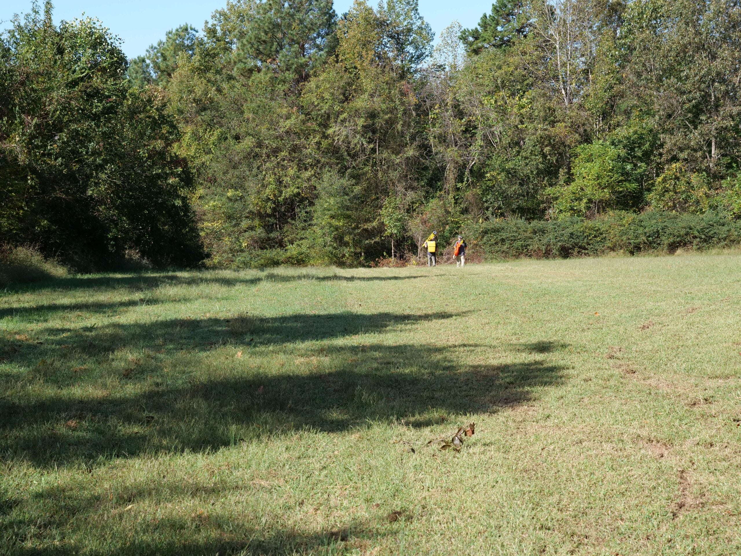
Comprehensive ALTA surveys for commercial purchasers and lenders.

Divide your land or move your property line.
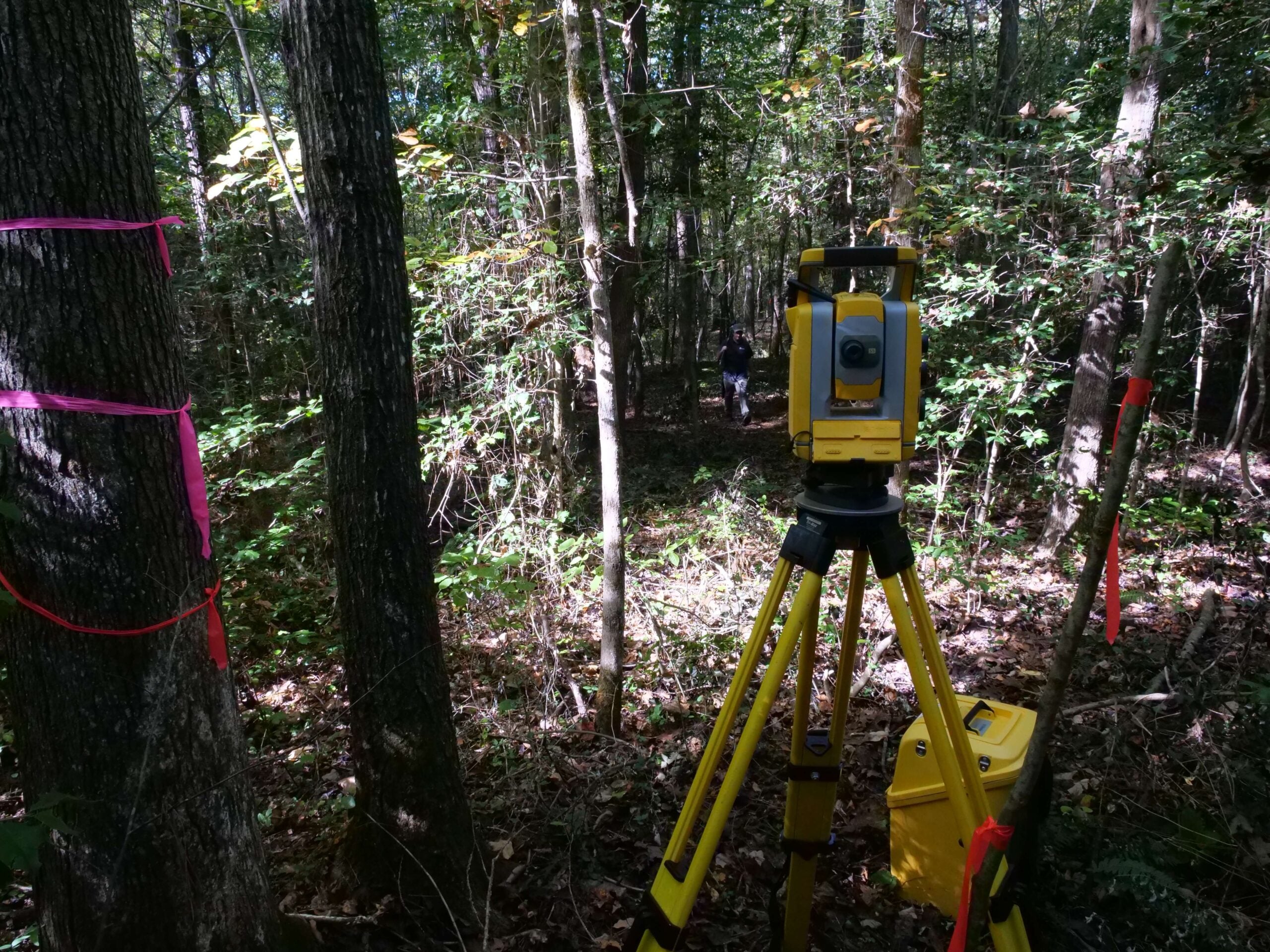
Certified elevation data for flood insurance and permitting.
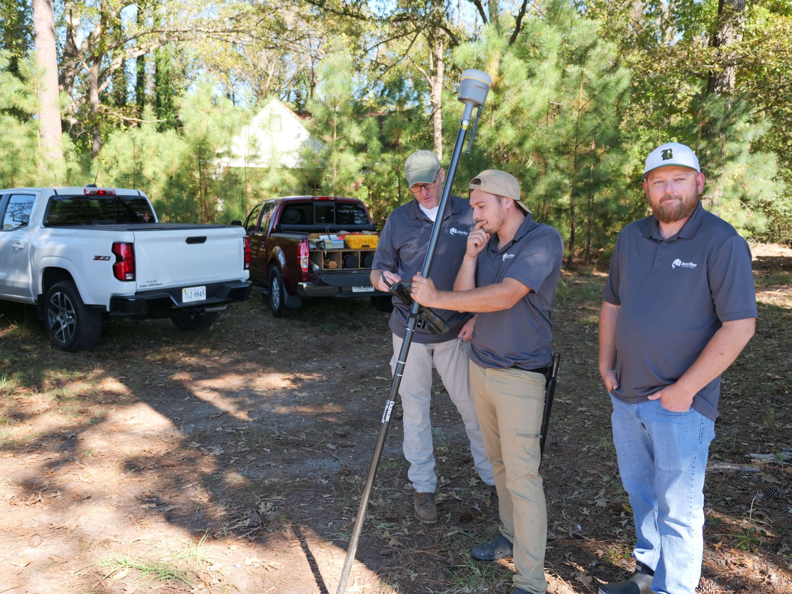
Detailed terrain maps that support design, grading, and site development.
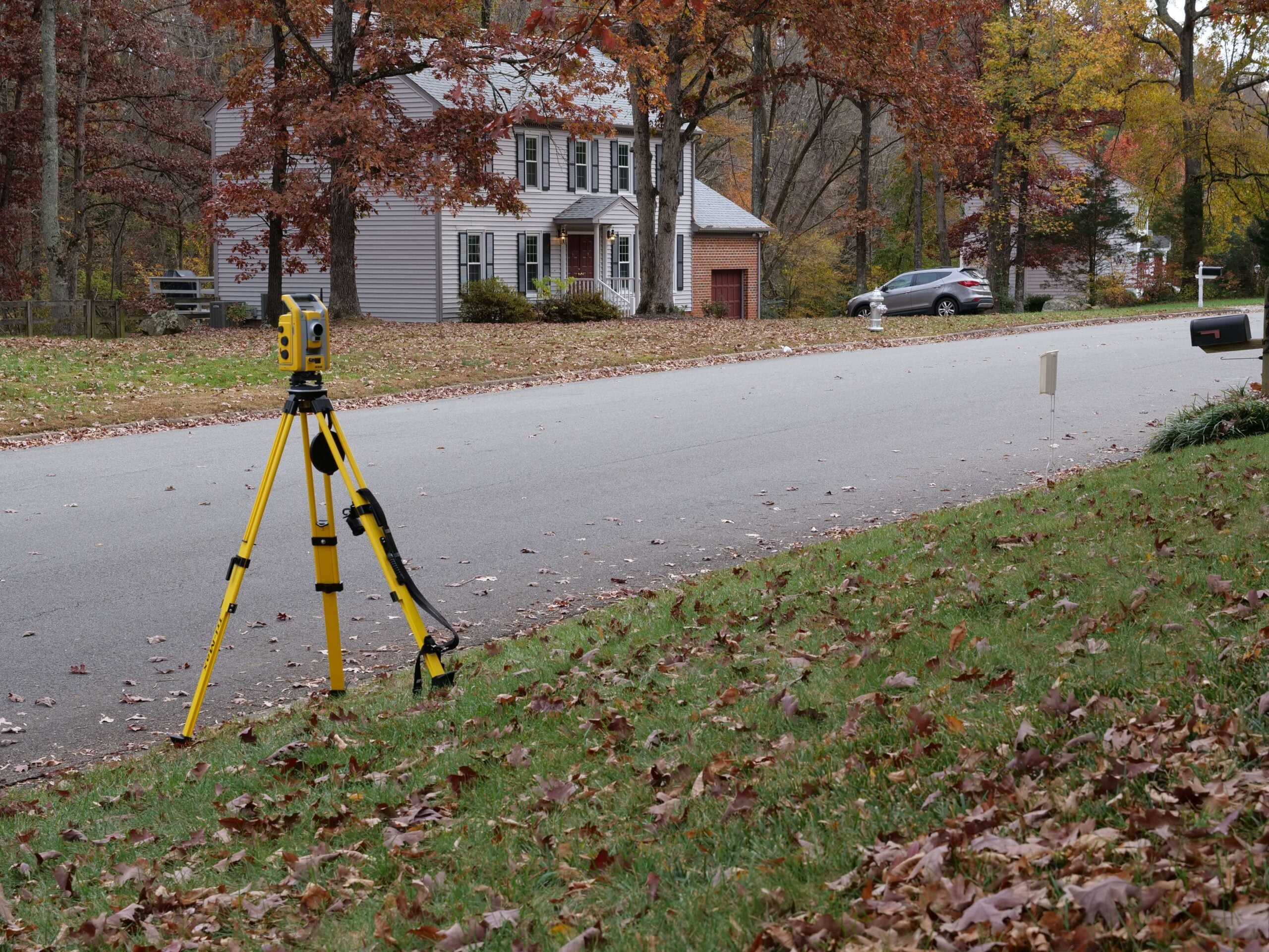
Precise land surveys that protect your investment before you build or buy.

We’re locally owned. We live in the Richmond and Norfolk areas, and we work all over Virginia!
Our surveyors don’t get pulled away on large civil projects or for overnight travel. We get the work done fast so that you get results quickly.
We excel at residential, boundary, and ALTA surveys. Because we focus on one area of surveying, you get high-quality work you can trust.
James River Surveying delivers accurate, dependable land surveying services throughout Orange County and the surrounding Central Virginia region. Our licensed professionals bring extensive field experience and a deep understanding of Virginia property laws, rural and residential land characteristics, and local county requirements. We are committed to providing precise survey data, responsive service, and straightforward communication so every client, whether a homeowner, farmer, builder, or developer, can confidently move forward with their plans.
James River Surveying proudly provides land surveying services throughout Orange County, including Orange, Gordonsville, Unionville, Montpelier, Lake of the Woods, Locust Grove, and Barboursville. From historic estates and farmland to planned residential communities and lakefront properties, our team delivers accurate surveys tailored to each area’s unique terrain, land history, and development patterns.
A land surveyor measures, maps, and verifies property boundaries to provide accurate information for building, buying, or planning projects.
You may need a survey for buying a home, installing a fence, planning construction, verifying boundaries, or resolving a property concern.
Most residential surveys are completed within a few days to a couple of weeks, depending on property size and available records.
We provide boundary, fence, addition, topographic, subdivision, and elevation certificate surveys for residential and commercial properties.
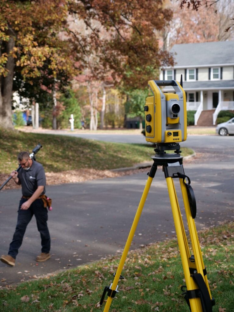
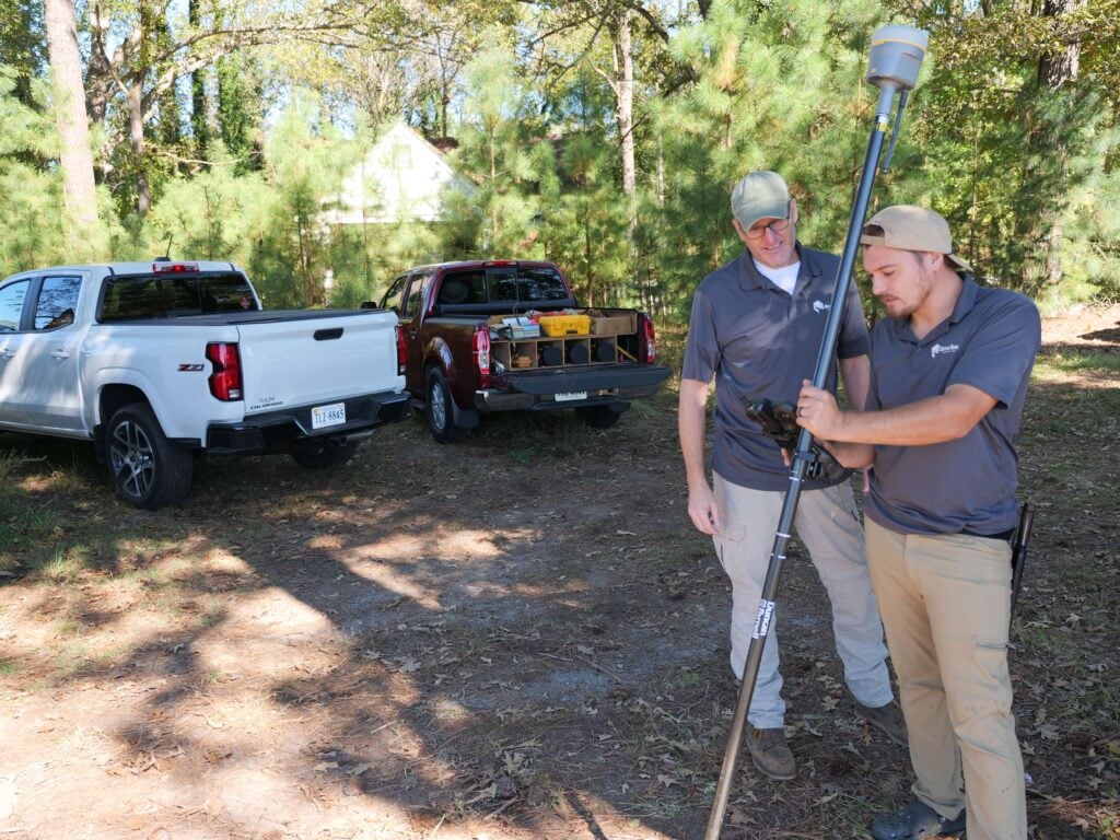
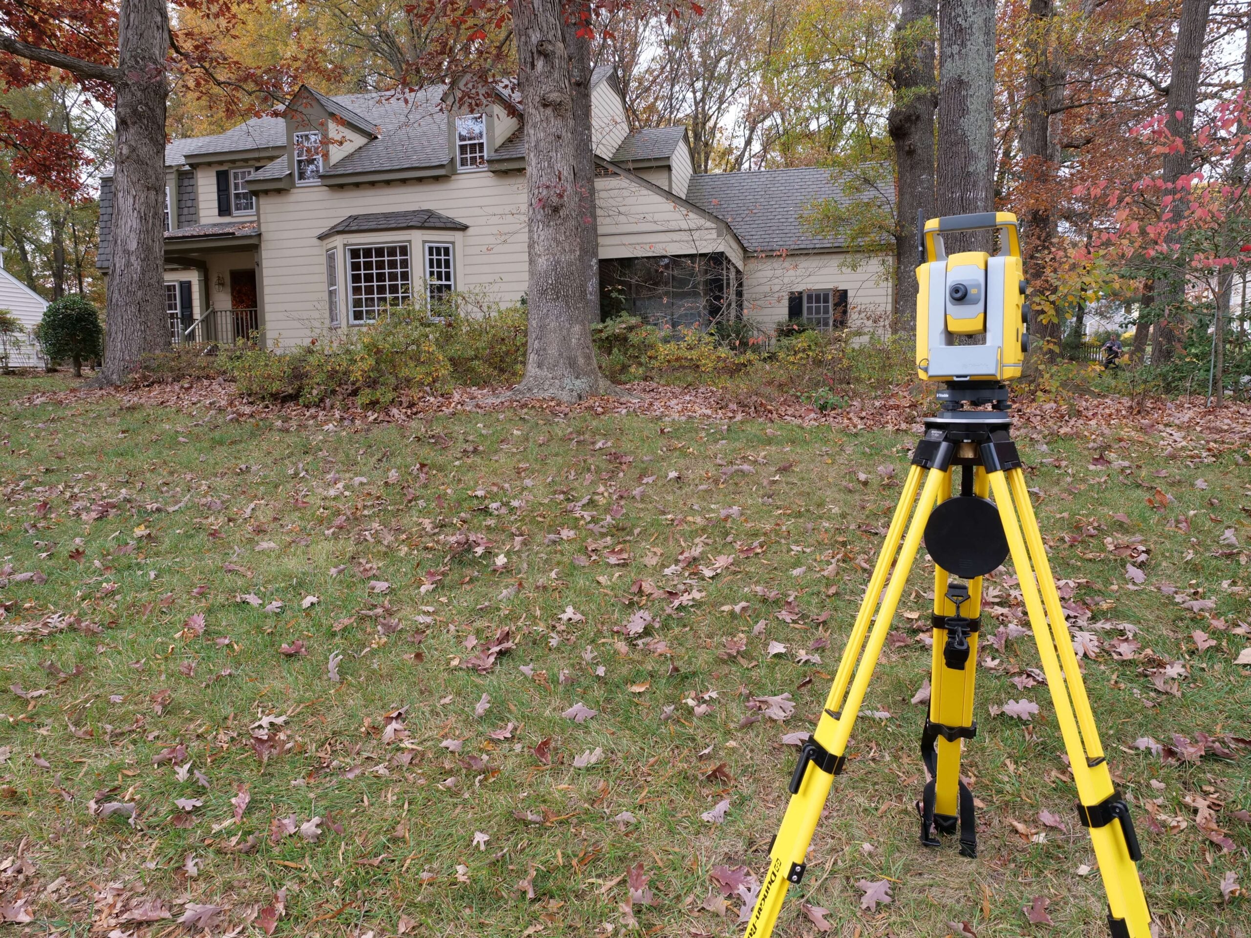
Our surveys are highly accurate thanks to professional equipment and detailed boundary research. Surveying equipment is significantly more precise than cell phones and apps such as GIS or onX Hunt.
Yes, we locate and mark property corners so you can easily identify boundary points for fencing, projects, or future reference.
Yes, a survey ensures structures are placed correctly and meet required building, setback, and permitting guidelines.
Costs vary based on lot size, terrain, and research needed. Send us a text with your address and reason for the survey and we will send you a free estimate!
From boundary surveys to topographic mapping and construction layout, we help Orange County property owners confidently plan improvements, development, and property transactions.