


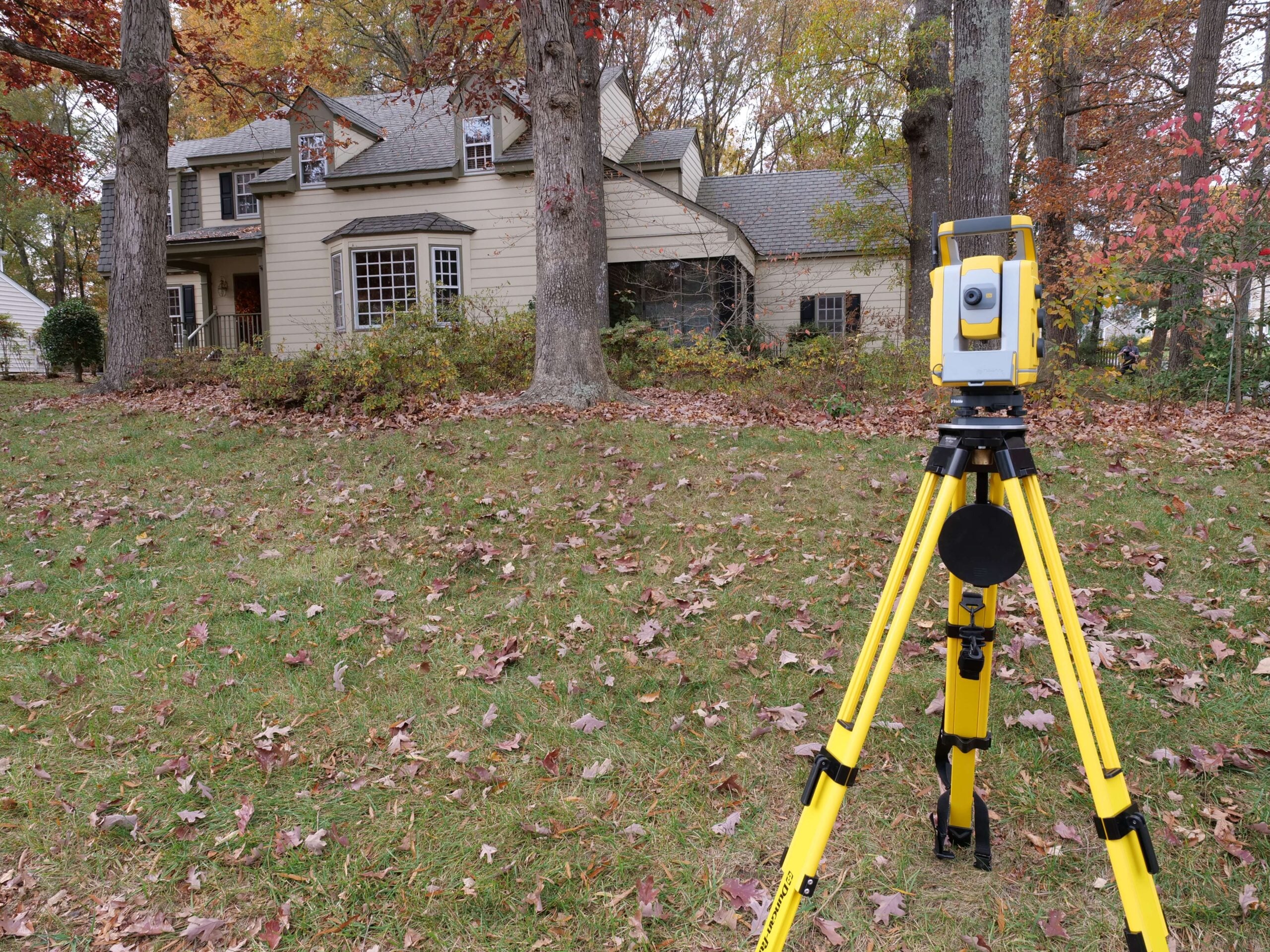
Serving the heart of Virginia, James River Surveying provides reliable, accurate land surveying for property owners, builders, and developers across Chesterfield, Goochland, Hanover, Henrico, New Kent, Powhatan, and Richmond. Our team understands the region’s diverse terrain, local regulations, and development requirements—delivering clear, dependable results for projects of every size.
James River Surveying proudly serves Virginia’s coastal and peninsula communities, delivering precise, dependable surveying across Gloucester, Lancaster, Mathews, Northumberland, Richmond County, and Westmoreland County. From waterfront parcels to rural acreage, our team understands the region’s unique shorelines, floodplain considerations, and local permitting needs—providing clear, accurate survey data for homeowners, builders, and developers throughout the Northern Neck and Middle Peninsula.
James River Surveying provides reliable, high-quality surveying throughout the Tidewater and Hampton Roads region, serving communities across Chesapeake, Hampton, James City County, Newport News, Norfolk, Portsmouth, Suffolk, and Virginia Beach. From dense urban neighborhoods to coastal properties and expanding suburban developments, our team understands the region’s terrain, shoreline considerations, and municipal requirements—delivering precise, dependable survey data for homeowners, builders, and commercial projects across Hampton Roads.
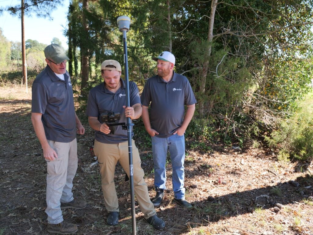
We’re locally owned. We live in the Richmond and Norfolk areas, and we work all over Virginia!
Our surveyors don’t get pulled away on large civil projects or for overnight travel. We get the work done fast so that you get results quickly.
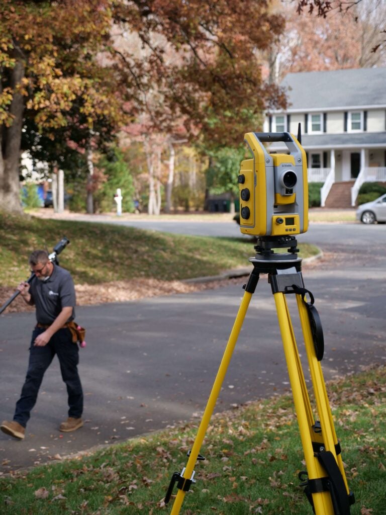
We excel at residential, boundary, and ALTA surveys. Because we focus on one area of surveying, you get high-quality work you can trust.

Detailed boundary mapping to verify your exact lot limits and any encroachments.
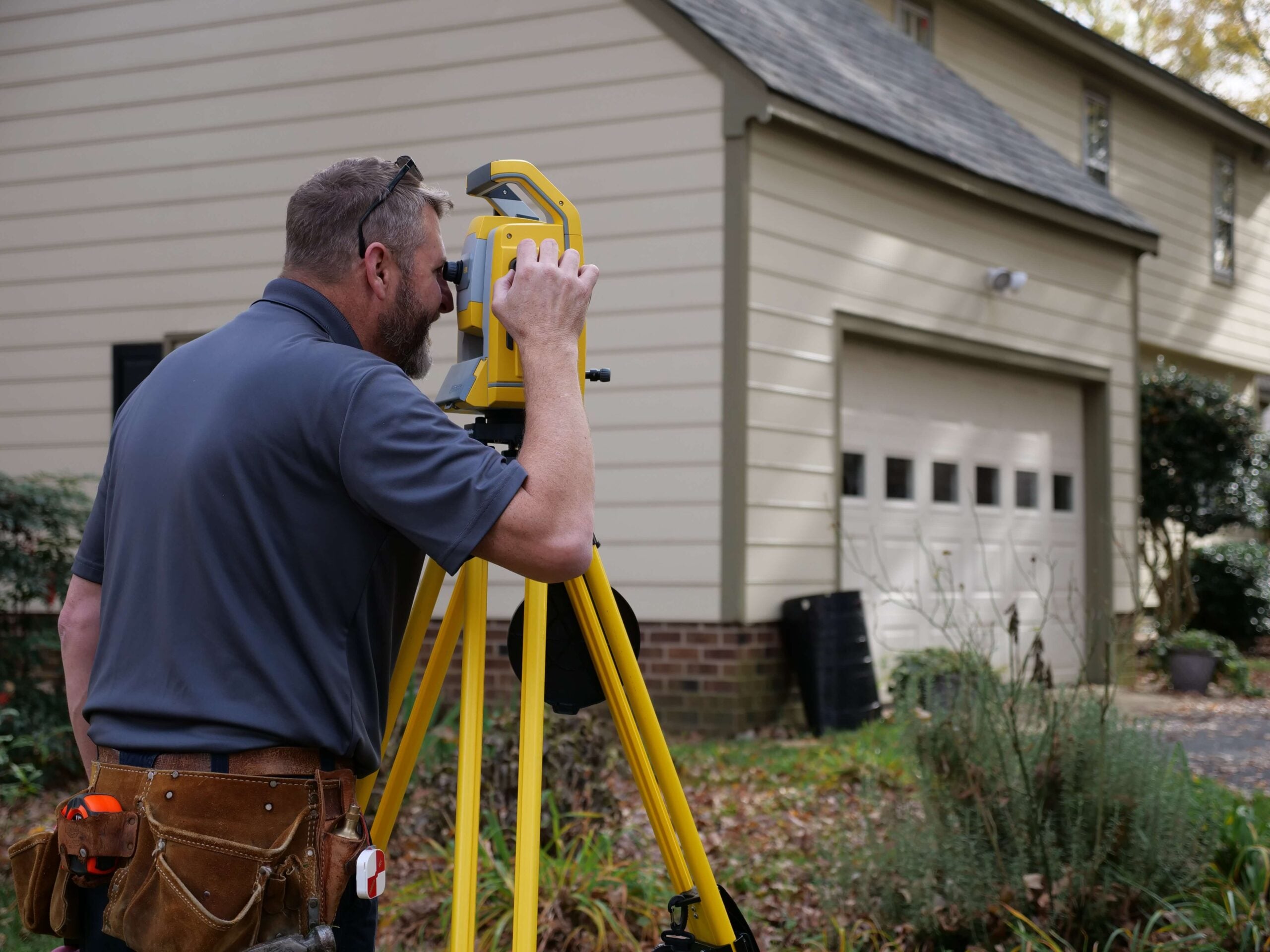
Precise surveys that ensure your fence is placed correctly.
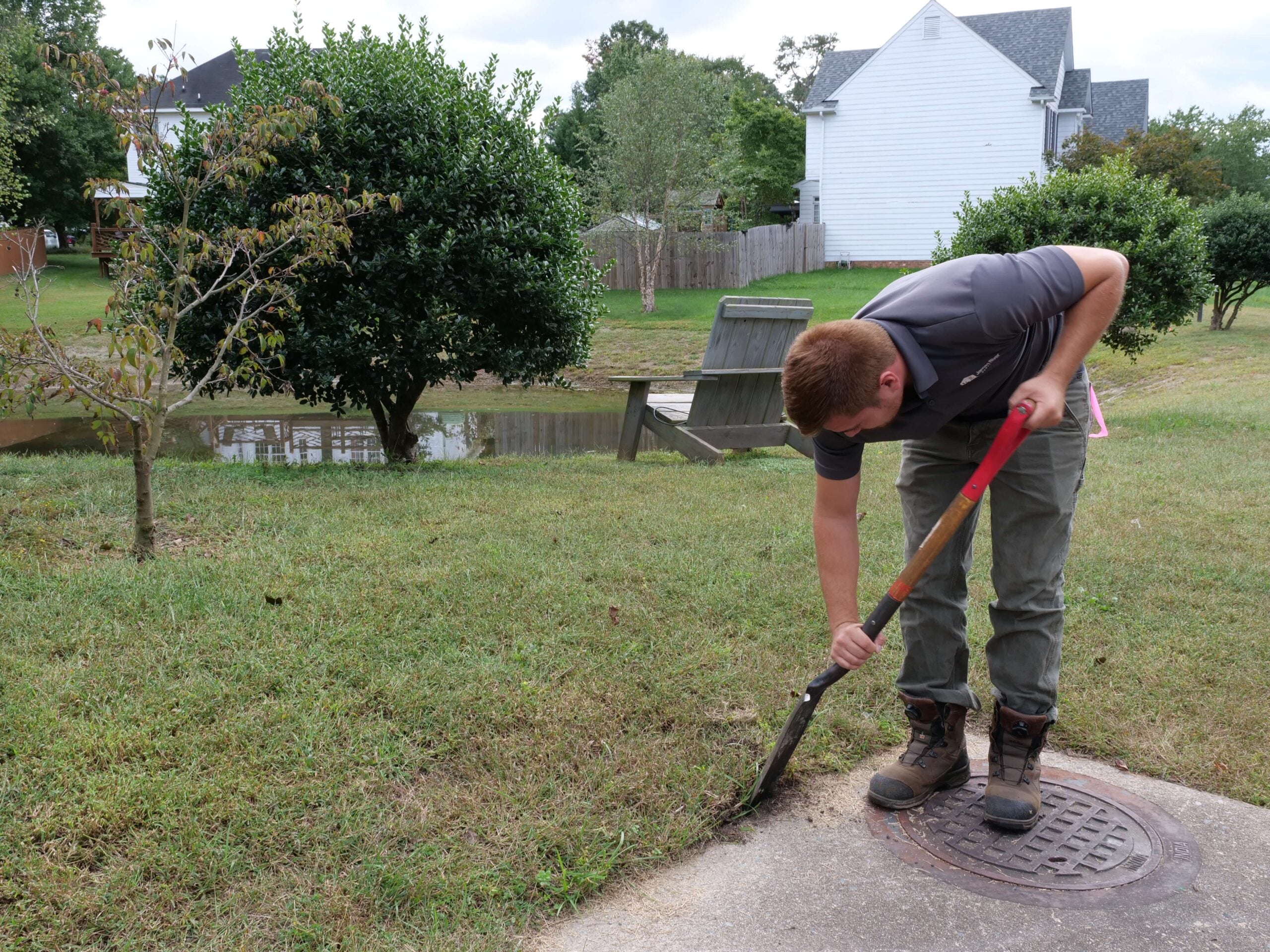
Trusted surveys for additions, garages, and screened-in porches.
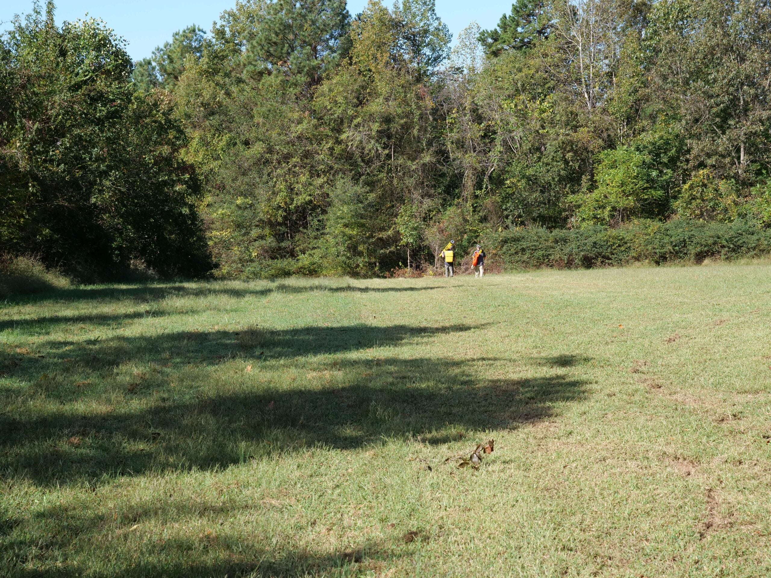
Comprehensive ALTA surveys for commercial purchasers and lenders.

Divide your land or move your property line.
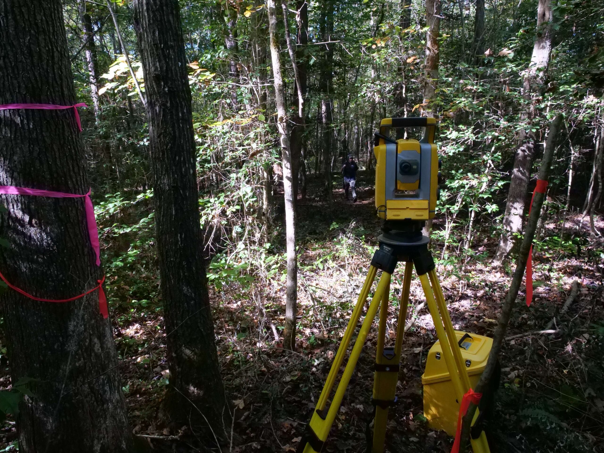
Certified elevation data for flood insurance and permitting.
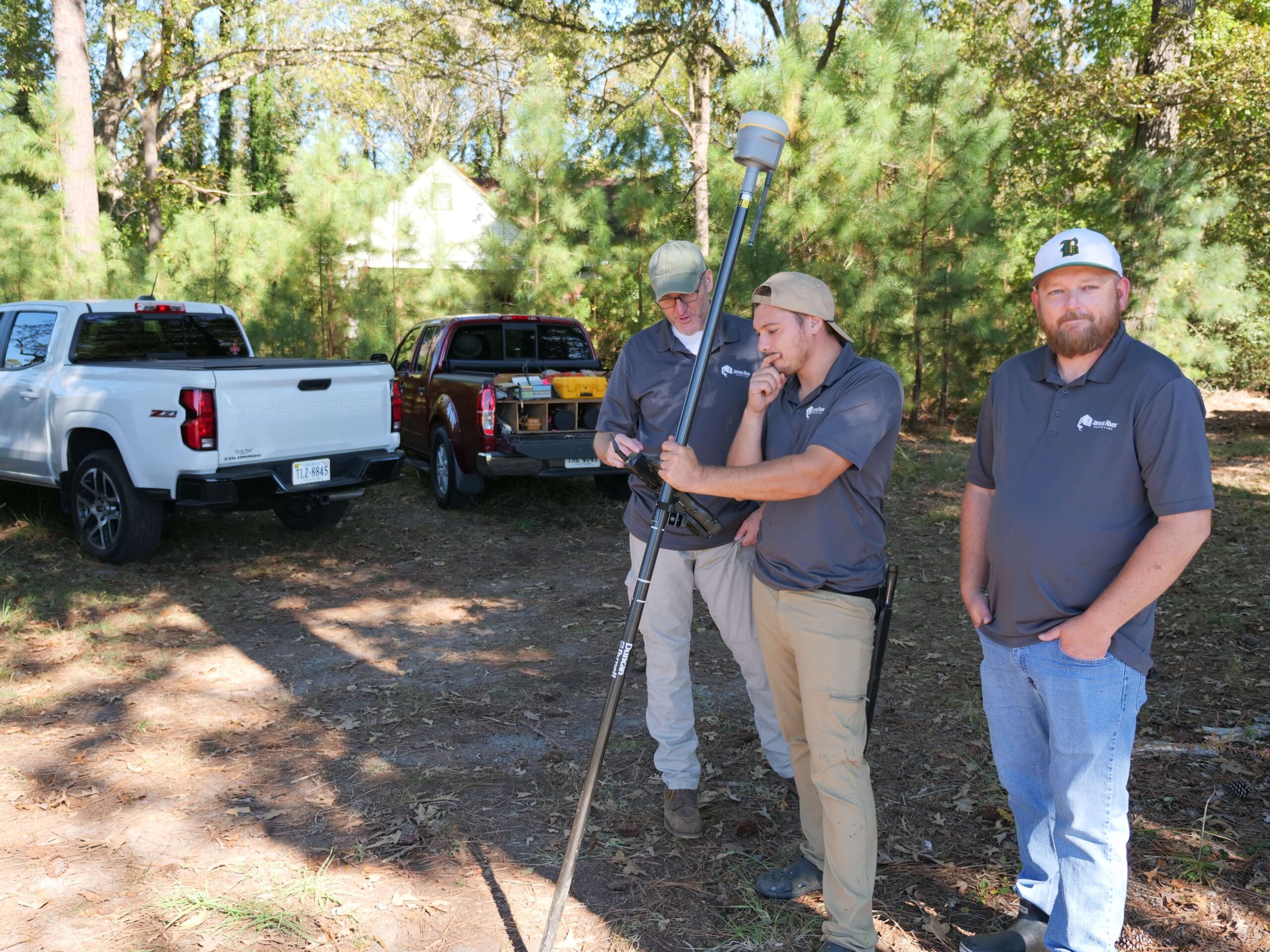
Detailed terrain maps that support design, grading, and site development.