Certified Elevation Certificates You Can Depend On
Clear, reliable elevation data from certified professionals.
Reliable Elevation Certificates for Insurance and Peace of Mind
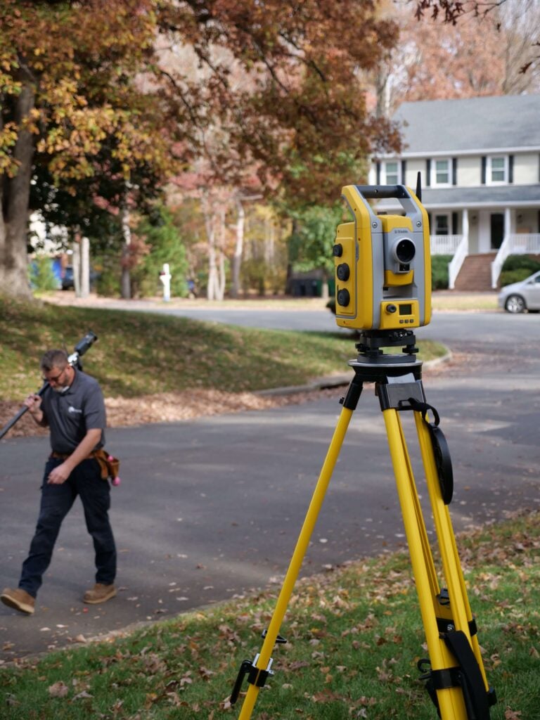
From determining flood-insurance rates to planning structural improvements, accurate elevation data makes all the difference. We deliver FEMA-compliant certificates with precise measurements and straightforward documentation—giving you the clarity you need to protect your property.

Local Expertise
We’re locally owned. We live in the Richmond and Norfolk areas, and we work all over Virginia!

Fast Delivery
Our surveyors don’t get pulled away on large civil projects or for overnight travel. We get the work done fast so that you get results quickly.

Quality Work
We excel at residential, boundary, and ALTA surveys. Because we focus on one area of surveying, you get high-quality work you can trust.
Why Elevation Certificates Protect Your Home and Investment
Understanding your property’s elevation is essential for ensuring proper insurance coverage and planning for future improvements. A certified Elevation Certificate shows exactly how your home or structure compares to flood-zone requirements, helping you avoid disputes, reduce premiums, and stay compliant with local rules. Our detailed reporting and dependable measurements make it easy to plan smarter and protect what matters most.
Elevation Certificate FAQs
What is an Elevation Certificate?
An Elevation Certificate is an official document prepared by a licensed surveyor that shows a building’s elevation relative to FEMA’s Base Flood Elevation (BFE). It’s used to assess flood risk, determine insurance premiums, and verify compliance with floodplain regulations.
Who needs an Elevation Certificate?
You may need an Elevation Certificate if you’re purchasing flood insurance, updating your policy, building in a flood zone, applying for certain permits, or if your lender or community floodplain manager requires one.
How is an Elevation Certificate used for flood insurance?
Insurance providers use the elevation data to calculate accurate flood-insurance premiums. A higher elevation relative to the BFE can often reduce your rates, while lower elevations may require additional mitigation or structural improvements.
What information is included in an Elevation Certificate?
It typically includes the property address, flood-zone designation, building characteristics, foundation type, elevation of the lowest floor, and photographs of the structure. It also details BFE comparisons and other measurements required by FEMA.
How long does an Elevation Certificate take to complete?
Most certificates are completed within a few days to two weeks, depending on property size, accessibility, and how complex the site is. Larger or multi-structure properties may require additional fieldwork.
Do Elevation Certificates expire?
An Elevation Certificate does not expire, but it may need to be updated if you remodel, add structures, or if FEMA issues new flood maps that change your zone or BFE. Insurance providers sometimes request updated documentation.
Can an Elevation Certificate lower my flood insurance premium?
Yes. If your property sits above the Base Flood Elevation, your insurance costs may decrease. Even if your elevation is below the BFE, the certificate provides the accurate data needed for mitigation planning or premium adjustments.
What if I don’t have an Elevation Certificate?
Without an Elevation Certificate, insurers may assign higher, less favorable rates based on estimated risk. Some permits may also be delayed or denied. Obtaining a certified elevation document ensures accurate evaluations and smoother approvals.
Client Testimonials
"From booking the appointment to having the survey completed, this was quick and easy! So happy to have them come out before we got our fence installed. Highly recommend!"
"James River Surveying made the entire process smooth and stress-free. Bryan, Wes, and the whole team communicated clearly at every step and were always quick to respond."
"This company was AMAZING!!! The customer service was superb (from start to finish) and they delivered me a survey of my property on very short notice. I highly recommend James River Surveying!"

Clear Answers for Every Property Question
Accurate Elevation Data for Safer Decisions and Lower Stress
Understanding your elevation shouldn’t be stressful. Our certified Elevation Certificates provide clear, dependable data for insurance, building plans, and flood-zone compliance. With precise measurements and straightforward reporting, you can protect your home and plan confidently.
Ready to Get Your Survey?
Get accurate, reliable surveying services from a trusted local team serving Virginia.