Why Builders Require Land Surveys Before Construction
March 6, 2026
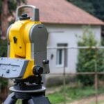
Why Land Surveys Are Essential in Coastal Areas Like Virginia Beach
April 14, 2026Land surveying has evolved dramatically over the past several decades, largely driven by modern technology. In Virginia and across the United States, these advancements have transformed how surveyors measure land, create maps, and provide accurate property data for developers, engineers, and property owners. What was once a slow and highly manual process has become far more efficient and precise thanks to modern technology such as satellite positioning, aerial imaging, and digital data processing.
Historically, land surveying required surveyors to rely on chains, compasses, and optical instruments to measure distances and determine property boundaries. These traditional tools required extensive fieldwork and often involved teams of surveyors spending long days carefully recording measurements by hand. While these methods were remarkably effective for their time, they were also time-consuming and susceptible to human error.
Today, modern land surveying technology allows professionals to collect and analyze geographic data faster and more accurately than ever before. Surveyors now use advanced tools such as Global Navigation Satellite Systems (GNSS), drones, LiDAR scanning, and digital mapping software to measure land with incredible precision. These technologies allow surveyors to produce detailed maps, elevation models, and property boundary reports that support a wide range of industries.
In Virginia, these innovations are especially important due to the state’s diverse landscape. From mountainous regions in western Virginia to coastal areas near the Chesapeake Bay, land surveyors must work in a variety of terrains. Modern surveying technology allows professionals to collect reliable data even in challenging environments.
As development continues across Virginia, including residential communities, infrastructure projects, and commercial construction, the demand for accurate and efficient surveying services continues to grow. Understanding how technology is transforming land surveying helps property owners, builders, and developers appreciate the value that modern surveyors bring to land development and property management.
The Evolution of Land Surveying
To understand how modern technology is changing land surveying in Virginia, it is helpful to look at how the profession has evolved over time. For centuries, surveyors relied on basic tools and mathematical calculations to measure land and establish property boundaries.
One of the earliest surveying tools was the Gunter’s chain, which was used to measure distances across land. Surveyors would stretch the chain across fields or forests while carefully recording measurements. Combined with compasses and simple leveling instruments, these tools allowed surveyors to create early maps and property records.
Later, the invention of the theodolite significantly improved surveying accuracy. This optical instrument allowed surveyors to measure horizontal and vertical angles with greater precision. The theodolite became a standard tool in the surveying profession and remained widely used well into the twentieth century.
The introduction of electronic distance measurement (EDM) devices in the mid-1900s marked another major advancement. EDM instruments used electromagnetic waves to measure distances more accurately than manual methods. These devices helped reduce field time and improved measurement reliability.
Despite these improvements, traditional surveying still required extensive manual work and calculations. Surveyors often spent hours processing field notes and converting measurements into maps.
The digital revolution of the late twentieth century transformed the industry completely. Computer software, satellite positioning systems, and automated instruments allowed surveyors to collect and analyze data in ways that were previously impossible.
Today’s land surveying professionals use technology that would have seemed unimaginable just a few decades ago. These tools allow surveyors to capture enormous amounts of data quickly while maintaining extremely high levels of accuracy.
Global Navigation Satellite Systems (GNSS)
One of the most important technological advancements in modern surveying is the use of Global Navigation Satellite Systems (GNSS). GNSS technology uses signals from satellites orbiting the Earth to determine precise geographic positions.
Many people are familiar with GPS technology used in smartphones and navigation systems. GNSS surveying systems operate on a similar principle but provide far greater accuracy. Survey-grade GNSS receivers can determine positions with centimeter-level precision when used with correction systems such as Real-Time Kinematic (RTK) positioning.
Surveyors in Virginia use GNSS equipment to establish property boundaries, create control points, and measure large areas of land quickly. Because satellite signals provide real-time positioning data, surveyors can collect accurate measurements without relying solely on line-of-sight observations between instruments.
This technology is particularly valuable in large rural properties, agricultural areas, and infrastructure projects where traditional measurement methods would take significantly longer.
GNSS also allows surveyors to integrate geographic data with digital mapping systems. Coordinates collected in the field can be immediately processed and incorporated into Geographic Information Systems (GIS), engineering plans, or construction models.
By reducing the time required for field measurements and increasing positional accuracy, GNSS technology has become one of the most widely used tools in modern land surveying.
Drone Surveying and Aerial Mapping
Another technology revolutionizing land surveying is the use of unmanned aerial vehicles (UAVs), commonly known as drones. Drone surveying allows professionals to capture aerial imagery and topographic data across large areas quickly and efficiently.
Drones equipped with high-resolution cameras can capture hundreds or even thousands of overlapping photographs of a site. Specialized software then processes these images to create orthomosaic maps, 3D terrain models, and detailed topographic maps.
Drone surveys are particularly useful for projects that involve large or difficult-to-access areas. Construction sites, mining operations, agricultural land, and environmental monitoring projects often benefit from aerial data collection.
In Virginia, drone surveying has become increasingly valuable for land development and infrastructure planning. Rapid population growth in many regions of the state has created demand for new housing communities, transportation improvements, and commercial developments. Drone technology allows surveyors to gather site data quickly so that engineers and planners can move forward with project design.
Drone surveys also improve safety. Instead of sending survey crews into hazardous environments such as steep terrain, wetlands, or construction zones, drones can collect the necessary data remotely.
LiDAR Technology and High-Precision Mapping
One of the most powerful tools transforming modern land surveying is LiDAR technology, which stands for Light Detection and Ranging. LiDAR uses laser pulses emitted from a sensor to measure distances between the sensor and the Earth’s surface. By recording the time it takes for the laser pulses to bounce back, LiDAR systems can calculate extremely precise elevation measurements.
LiDAR sensors are often mounted on aircraft, drones, or ground-based scanning systems. As the sensor moves across an area, it rapidly emits thousands or even millions of laser pulses per second. Each pulse collects a data point, and when combined, these data points create a highly detailed 3D representation of the landscape.
This technology allows surveyors to capture elevation data with remarkable precision. The resulting dataset, known as a point cloud, can contain millions of individual points that represent terrain features, vegetation, buildings, and other structures.
One of the greatest advantages of LiDAR is its ability to penetrate vegetation. In heavily forested areas, traditional surveying methods can struggle to capture accurate ground measurements because trees and brush obstruct the view. LiDAR systems, however, can record multiple returns from each laser pulse. Some returns reflect off tree branches while others reach the ground below, allowing surveyors to generate accurate terrain models even in dense forests.
This capability is particularly valuable in Virginia, where many regions contain thick vegetation and varied terrain. From the Appalachian Mountains to wooded rural properties, LiDAR allows surveyors to map landscapes that would otherwise be difficult to measure accurately.
LiDAR data is commonly used for projects such as flood modeling, infrastructure planning, highway design, and environmental analysis. Engineers and planners rely on this information to understand how land elevation affects water flow, construction feasibility, and environmental impact.
As LiDAR technology becomes more accessible and affordable, it continues to expand the capabilities of land surveyors across Virginia.
3D Modeling and Digital Terrain Mapping
Modern surveying technology does not simply collect raw measurements. Today’s surveyors use advanced software to transform field data into detailed 3D models and digital terrain maps that help engineers, architects, and developers visualize projects before construction begins.
Digital terrain models (DTMs) represent the shape and elevation of the land surface. These models are generated using data collected from GNSS receivers, drones, LiDAR scanners, and traditional survey instruments. By combining these data sources, surveyors can create extremely accurate representations of the landscape.
These models allow professionals to evaluate how a site will respond to construction activity. Engineers can analyze slope gradients, drainage patterns, and elevation changes to determine how buildings, roads, or utilities should be positioned.
In many cases, surveyors also produce 3D surface models that include buildings, vegetation, and infrastructure. These models provide a realistic visualization of a property and can be used during planning meetings or public presentations.
Another emerging technology related to digital modeling is the concept of digital twins. A digital twin is a virtual representation of a physical location that contains real-world data about structures, terrain, and infrastructure. These digital environments allow planners and engineers to simulate construction scenarios before work begins.
For example, developers planning a residential subdivision in Virginia can use digital models to determine where roads should be placed, how stormwater should be managed, and how building layouts will fit the terrain.
These modeling capabilities dramatically improve project planning and reduce costly errors during construction.
Geographic Information Systems (GIS) and Data Integration
Modern land surveying also relies heavily on Geographic Information Systems (GIS). GIS technology allows surveyors to store, analyze, and visualize geographic data within digital maps.
A GIS database can contain multiple layers of information, including property boundaries, topography, infrastructure networks, zoning data, environmental features, and utility systems. Surveyors can combine these layers to provide clients with comprehensive insights about a property or project site.
For example, a land developer planning a new neighborhood in Virginia might need to understand several factors simultaneously, including:
- Property boundaries
- Elevation changes
- Nearby road networks
- Floodplain locations
- Existing utility infrastructure
- Environmental restrictions
GIS systems allow surveyors to compile all of this information into a single interactive map. This makes it easier for engineers, architects, and planners to make informed decisions during project design.
Government agencies also rely heavily on GIS data for infrastructure planning, environmental management, and public safety. Surveyors often provide data that becomes part of municipal or statewide GIS databases.
Because GIS systems allow data to be shared easily between organizations, they improve collaboration across multiple industries involved in land development.
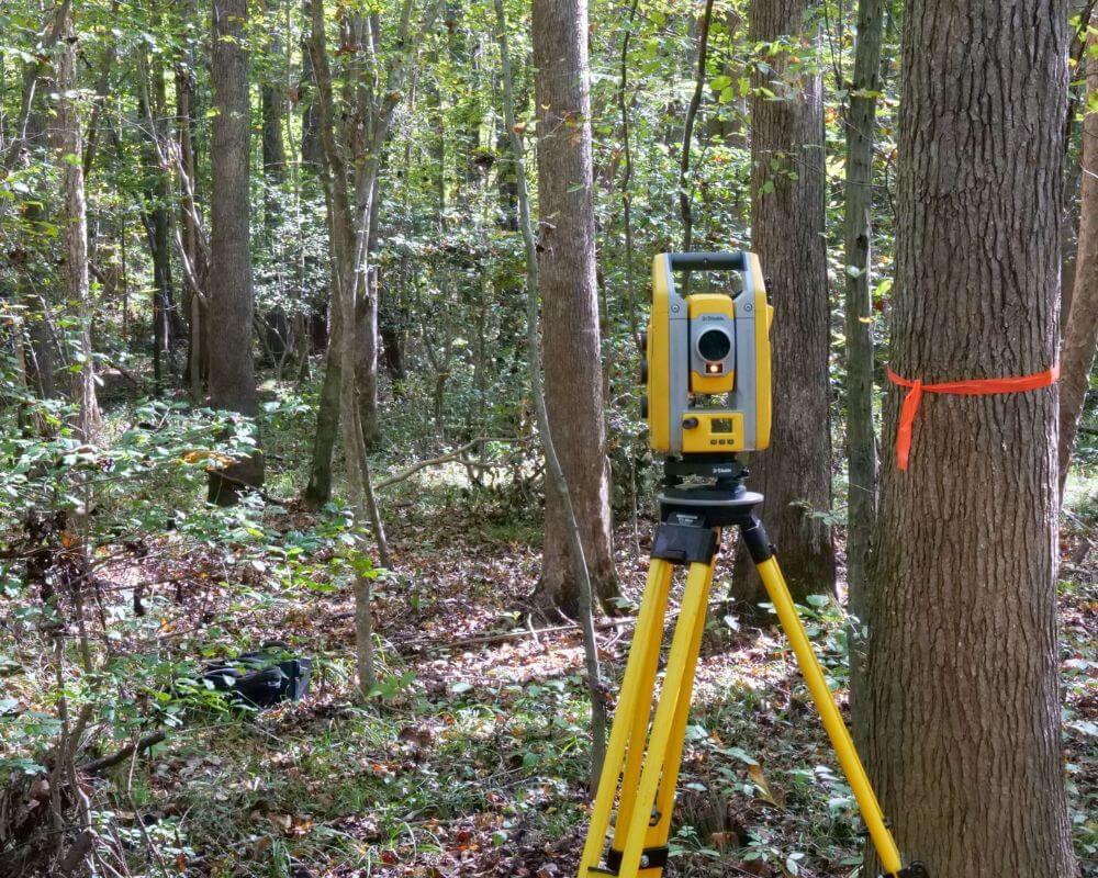
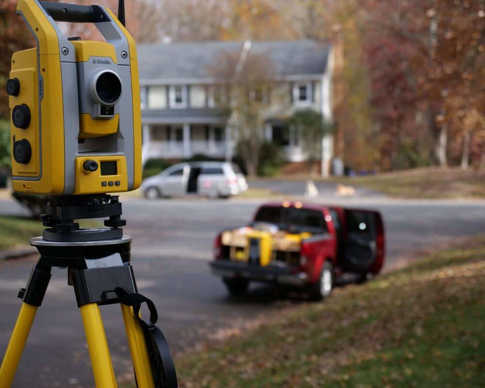
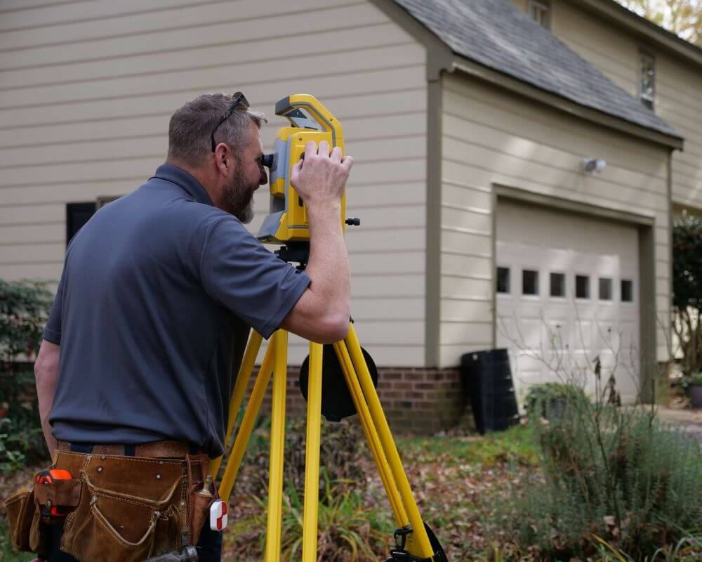
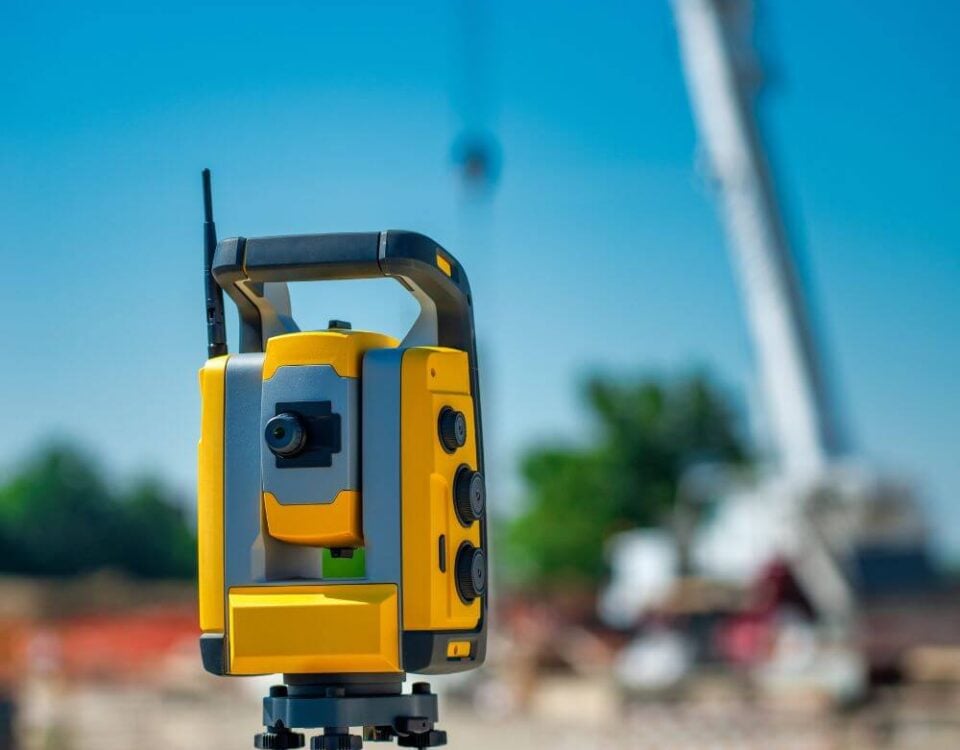
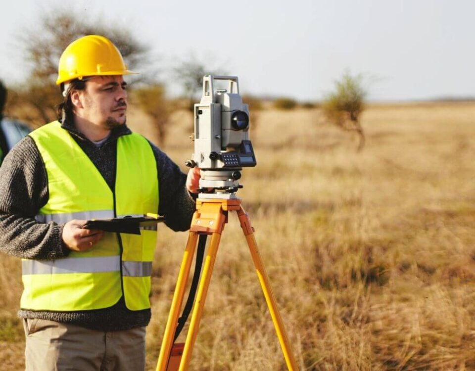
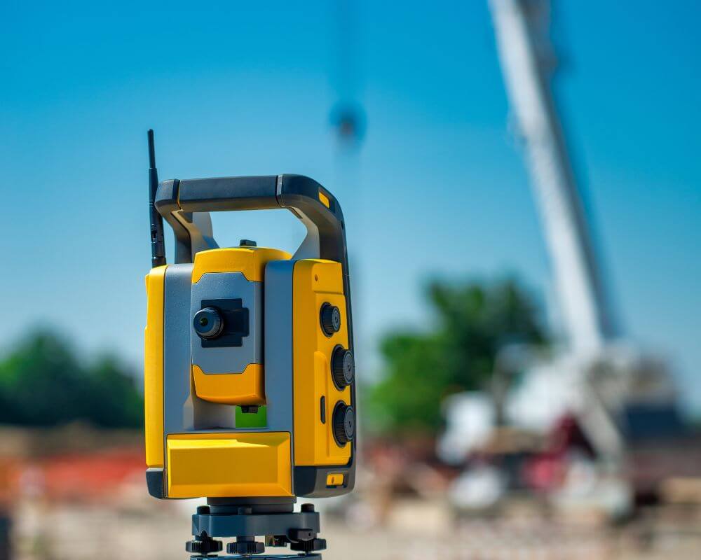
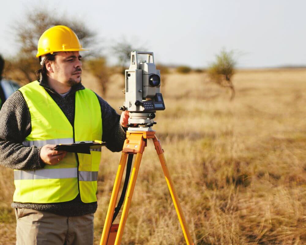
Robotic Total Stations and Automation
Another technological advancement that has significantly improved surveying efficiency is the robotic total station. A total station is an instrument that measures angles and distances to determine precise positions on the ground.
Traditional total stations required two surveyors to operate. One surveyor controlled the instrument while the other held a reflective prism at the point being measured. Communication between the two operators was necessary to ensure accurate readings.
Robotic total stations eliminate much of this manual coordination. These advanced instruments can automatically track a prism as the surveyor moves across the site. This allows a single surveyor to collect measurements without needing a second crew member.
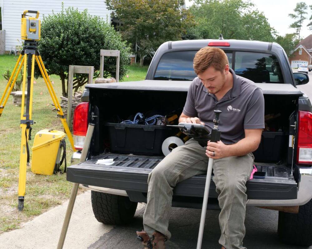
Robotic total stations also integrate with digital data collectors and mapping software. Measurements taken in the field are recorded instantly and can be transferred directly to computer systems for processing.
This automation significantly reduces field time and minimizes the risk of transcription errors that once occurred when surveyors manually recorded measurements.
Robotic instruments are especially useful in construction layout work, where precise positioning is essential for placing foundations, roads, and utilities.
Benefits of Modern Surveying Technology for Property Owners
The advancements in surveying technology do not only benefit surveyors themselves. Property owners, developers, and municipalities also gain significant advantages from these innovations.
One of the most important benefits is improved accuracy. Modern surveying tools allow professionals to measure land with extremely high precision. This reduces the risk of boundary disputes and ensures that construction projects align correctly with property lines.
Another benefit is faster project timelines. Because modern equipment collects data quickly, surveyors can complete projects in less time. This allows developers and builders to move forward with planning and construction sooner.
Technology also improves safety. Drone surveys and remote sensing tools reduce the need for surveyors to enter hazardous environments such as steep slopes, construction zones, or unstable terrain.
Finally, modern surveying technology allows for better project planning. Engineers and architects can use accurate data to design structures that fit the landscape and comply with environmental regulations.
For property owners in Virginia, these improvements mean greater confidence in the accuracy and reliability of surveying services.
Future Trends in Land Surveying Technology
The pace of technological advancement in the surveying industry shows no signs of slowing down. As digital tools become more powerful and accessible, land surveyors will continue adopting new technologies that improve accuracy, efficiency, and data analysis.
One emerging trend is the increasing use of artificial intelligence (AI) in surveying workflows. AI-powered software can analyze large datasets generated by drones, LiDAR scanners, and GNSS receivers to identify patterns and automate certain processing tasks. This helps surveyors process massive amounts of geographic data more quickly than ever before.
Machine learning algorithms are also improving the way mapping software identifies features within aerial imagery. For example, modern programs can automatically detect roads, buildings, vegetation, and water features in drone images. This reduces the amount of manual editing required when producing digital maps and terrain models.
Another promising development is the expansion of mobile mapping systems. These systems combine LiDAR scanners, cameras, and GPS receivers mounted on vehicles to collect detailed mapping data while driving through an area. Mobile mapping is particularly useful for surveying roadways, transportation infrastructure, and urban environments.
Advancements in cloud-based data sharing are also transforming how surveyors collaborate with engineers, architects, and project managers. Survey data can now be uploaded to cloud platforms where multiple professionals can access and analyze it in real time. This improves communication and allows project teams to make faster decisions.
In Virginia, where infrastructure development and population growth continue to increase, these technological innovations will play a major role in shaping the future of land surveying. Surveyors who embrace these tools will be able to deliver faster results and more comprehensive data to their clients.
How Technology Improves Efficiency for Surveying Projects
Modern technology has significantly reduced the time required to complete surveying projects. What once took weeks of manual measurement can now often be completed in a matter of days using advanced equipment.
For example, drone surveys can collect aerial imagery of large properties in just a few hours. This imagery can then be processed into detailed maps and elevation models within specialized software programs. Engineers and developers can begin using this data almost immediately for project planning.
Similarly, GNSS systems allow surveyors to establish control points and measure property boundaries quickly without requiring long chains of manual measurements. Real-time positioning technology ensures that survey data is accurate while minimizing the time spent in the field.
Digital processing tools also reduce the amount of time required to create final deliverables. Instead of manually drafting maps, surveyors can generate digital models, CAD drawings, and GIS datasets directly from collected field data.
This improved efficiency benefits clients by reducing project timelines and helping construction or development projects begin sooner.
Why Accurate Surveying Matters for Virginia Property Owners
Accurate land surveying is essential for property owners, developers, and municipalities throughout Virginia. Surveying provides the information necessary to establish property boundaries, plan construction projects, and ensure compliance with local regulations.
Property owners often rely on surveys when buying or selling land. A boundary survey helps confirm the exact location of property lines and prevents potential disputes with neighboring properties.
Developers also rely on survey data when planning residential communities, commercial developments, or infrastructure projects. Accurate topographic surveys help engineers understand how land elevation affects drainage, road placement, and building design.
Local governments use survey data when planning roads, utilities, and public infrastructure. Surveying ensures that new construction projects align with zoning regulations and environmental requirements.
Because land development projects involve significant financial investments, the accuracy of survey data is critical. Modern surveying technology helps ensure that these measurements are as precise and reliable as possible.
The Continued Importance of Professional Land Surveyors
While modern technology has greatly improved surveying capabilities, professional expertise remains essential. Surveying equipment may be advanced, but trained surveyors are still responsible for interpreting data, verifying accuracy, and ensuring that legal property boundaries are correctly established.
Professional land surveyors undergo extensive education and licensing requirements to practice their profession. In Virginia, surveyors must meet strict standards and maintain professional certifications to provide surveying services.
Surveyors also bring valuable experience to complex projects. They understand how to interpret historical property records, identify potential boundary conflicts, and apply surveying principles in challenging environments.
Technology serves as a powerful tool that enhances the capabilities of surveyors, but it does not replace the knowledge and judgment of trained professionals.
Modern technology is transforming land surveying across Virginia. Tools such as GNSS satellite positioning, drone aerial mapping, LiDAR scanning, robotic total stations, and advanced GIS software have dramatically improved the accuracy and efficiency of surveying work.
These innovations allow surveyors to collect detailed geographic data faster than ever before while producing highly accurate digital models and maps. As a result, developers, engineers, and property owners can make better-informed decisions about land use, construction planning, and infrastructure development.
At the same time, the role of professional surveyors remains essential. Technology may provide powerful measurement tools, but the expertise of trained surveyors ensures that data is interpreted correctly and applied appropriately.
As Virginia continues to grow and develop, the demand for accurate land surveying will remain strong. By embracing modern technology while maintaining professional standards, surveyors will continue to play a vital role in shaping the future of land development across the state.
For property owners, developers, and communities throughout Virginia, modern surveying technology provides the tools needed to build smarter, safer, and more efficient projects.
