


How to Find Your Property Corners in Portsmouth, VA
June 5, 2026When buying property, installing a fence, planning an addition, resolving a boundary dispute, or preparing for construction, you may hear terms like survey, plat, and deed used interchangeably. While they are all important documents related to real estate ownership, they serve very different purposes. Understanding the difference between a land survey, a plat, and a deed can help property owners make informed decisions, avoid costly mistakes, and better understand the legal boundaries of their land.
Many homeowners assume that because they have a deed, they automatically know exactly where their property lines are located. Others believe that a subdivision plat is the same as a modern property survey. In reality, each document provides different information, and relying on the wrong one can lead to expensive problems when building, buying, or selling property.
Whether you own a home in Virginia, are purchasing vacant land, or are preparing for a new construction project, understanding these documents is one of the most valuable investments you can make.
Why Understanding Property Documents Matters
Real estate is one of the largest financial investments most people will ever make. Every improvement you build, every fence you install, and every structure you add depends on knowing exactly where your property begins and ends.
Unfortunately, misunderstandings about property documentation are extremely common. A homeowner may rely on an old plat instead of obtaining a current boundary survey. Another property owner may assume their deed contains enough information to determine their exact property corners. In many cases, these assumptions are not accurate.
Boundary disputes between neighbors often begin because someone relied on incomplete information. Construction delays can occur because permit offices require an updated survey before approving building plans. Buyers sometimes discover after closing that easements, encroachments, or boundary issues affect how they can use their property.
Understanding what each document does and does not provide allows property owners to avoid these situations before they become expensive legal or construction problems.
What Is a Property Deed?
A deed is the legal document that transfers ownership of real estate from one party to another. When you purchase a home or piece of land, the deed serves as evidence that ownership has legally changed hands.
The deed contains important legal information, including the names of the buyer and seller, the legal description of the property, and the date the ownership transfer occurred. Once signed and recorded with the appropriate local government office, the deed becomes part of the public record.
One common misconception is that a deed shows the exact location of property lines. While a deed includes a legal description of the property, it usually does not include an illustrated map showing visible boundary lines on the ground. Instead, the legal description references measurements, monuments, subdivision lots, metes and bounds descriptions, or previously recorded plats.
Reading a deed without surveying expertise often makes it difficult for the average homeowner to determine exactly where their property boundaries exist in the field. This is one of the primary reasons professional land surveys remain so important.
What Information Does a Deed Include?
Every deed is slightly different depending on the property and local recording requirements, but most include similar information.
The document identifies the current property owner, the individual or entity transferring ownership, the legal description of the land, and the recording information maintained by the county or city.
The legal description may reference distances, bearings, adjoining properties, subdivision lot numbers, or previously recorded maps. While this legal language establishes ownership, it is not designed to function as a construction map or property boundary guide for homeowners.
For example, your deed might describe your property as Lot 14 of a particular subdivision according to a recorded plat found in the county land records. While legally accurate, this description does not tell you where your fence should be installed or whether your new garage complies with setback requirements.
That is where surveying becomes essential.
What Is a Plat?
A plat is a map that illustrates how land has been divided into individual lots. Plats are commonly created when developers establish new subdivisions, neighborhoods, or commercial developments.
Unlike a deed, which focuses on ownership, a plat focuses on the layout of the land. It typically illustrates lot dimensions, street locations, easements, utility corridors, drainage areas, rights of way, and other features affecting the development.
When purchasing a home in a subdivision, your deed often references the recorded plat because the plat officially identifies your lot within the overall neighborhood.
A subdivision plat provides valuable information about how the neighborhood was originally designed, but homeowners should understand that it is not necessarily intended to establish the precise current location of every property corner decades after construction.
Changes over time, damaged monuments, construction activity, erosion, and previous surveying work may all affect how property boundaries are identified in the field today.
What Information Can You Learn From a Plat?
Subdivision plats provide an excellent overview of a property’s relationship to surrounding lots.
You can often determine lot dimensions, identify neighboring parcels, locate streets and road frontages, review utility easements, and understand setback areas established during the subdivision approval process.
Plats are particularly useful during the early planning stages of home improvements because they provide a general understanding of how the property was originally divided.
However, plats have limitations.
Most subdivision plats are prepared at a much smaller scale than an individual boundary survey. They are designed to illustrate the overall subdivision rather than locate every existing fence, building, retaining wall, driveway, or landscaping feature currently present on the property.
Because of these limitations, a recorded plat should not be used as the sole basis for construction or boundary decisions.
What Is a Land Survey?
A professional land survey is the most accurate method for determining where your property boundaries actually exist on the ground.
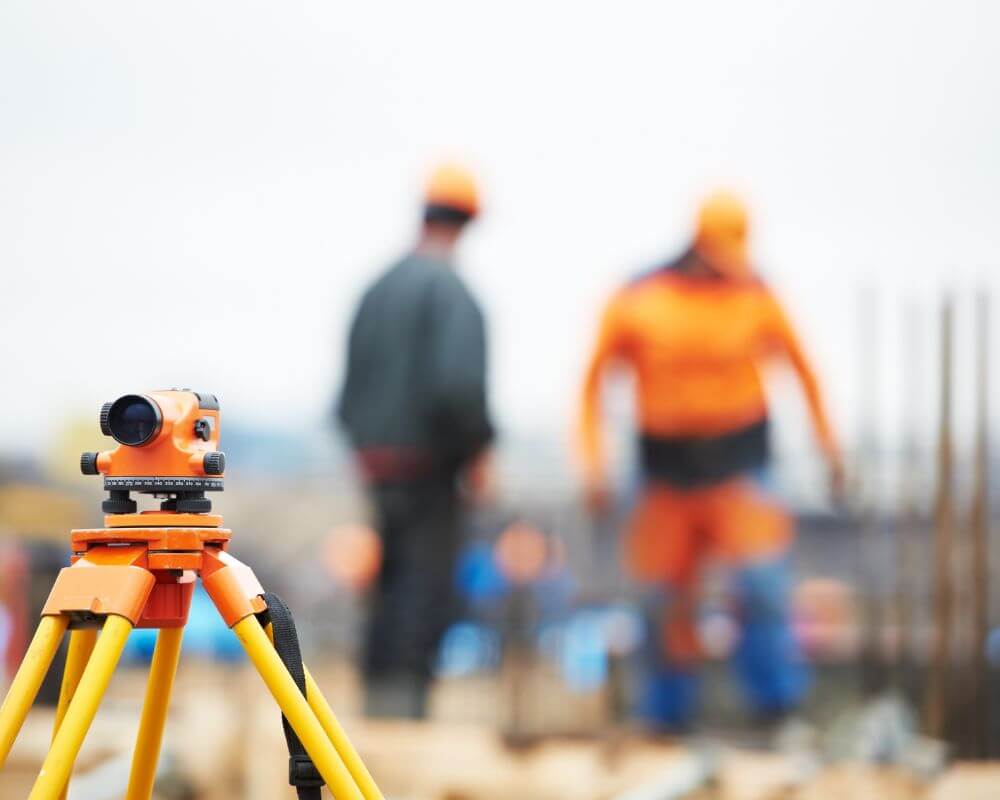
Unlike a deed or plat, which primarily serve legal and record keeping purposes, a land survey involves licensed professionals conducting extensive research, field measurements, and precise calculations using modern surveying equipment.
Before visiting the property, surveyors research public records, previous surveys, deeds, plats, easements, and historical documents related to the property. This research provides the legal foundation necessary to accurately establish boundary locations.
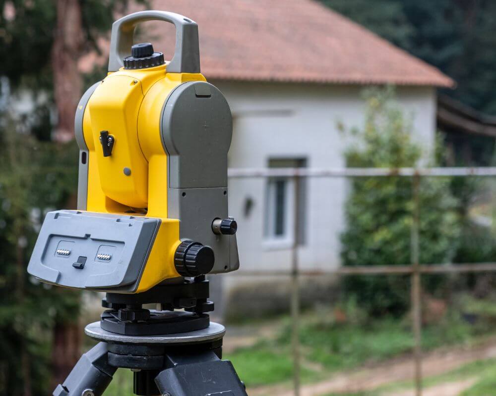
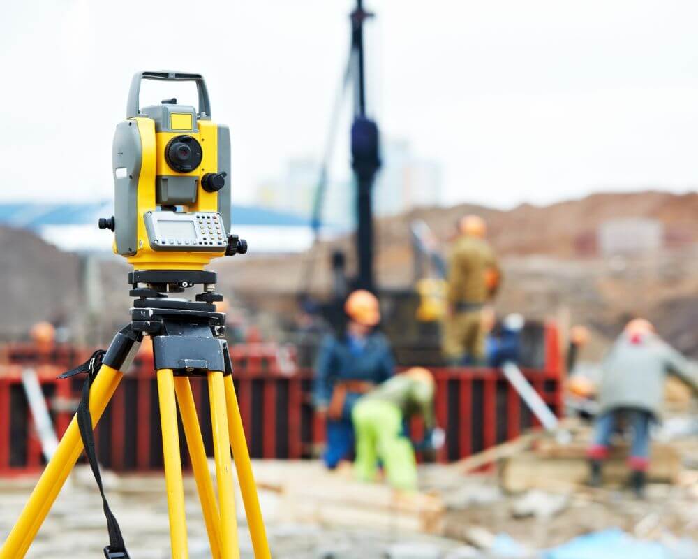
Surveyors then visit the property and locate existing monuments, property corners, improvements, occupation lines, fences, buildings, utilities, and other physical evidence. Using specialized equipment with extremely high levels of accuracy, they compare field measurements with legal records to determine the property’s true boundaries.
The completed survey provides detailed measurements, identifies property corners, documents improvements, shows encroachments when present, and creates an accurate representation of the property that can be used for construction, permitting, financing, or resolving disputes.
Why a Survey Provides Information a Plat and Deed Cannot
Although deeds and plats are essential legal documents, neither replaces the value of a professional survey.
A deed establishes ownership but generally does not physically locate your property corners.
A plat illustrates how land was divided but usually does not account for decades of physical changes that may have occurred after development.
A survey bridges the gap between historical legal records and the property’s current physical condition. It combines legal research with modern field measurements to determine exactly where your property boundaries exist today.
For homeowners planning fences, additions, detached garages, pools, sheds, retaining walls, or other improvements, this level of accuracy is critical.
When Do You Need a Land Survey Instead of a Plat or Deed?
Many homeowners wonder whether they can simply use the documents they already have instead of hiring a licensed surveyor. While your deed and plat provide valuable information, there are many situations where a current land survey is the only reliable option.
If you are installing a fence, building an addition, constructing a detached garage, adding a swimming pool, or placing any permanent structure near your property line, relying solely on a deed or subdivision plat can create significant problems. Even a small mistake in property line location could result in an encroachment onto your neighbor’s property or violate local setback requirements.
A professional land survey provides the level of precision necessary for construction projects because it identifies your property’s boundaries as they exist today rather than relying solely on historical records.
Land surveys are also frequently required during real estate transactions. Buyers want confidence that they understand exactly what they are purchasing, lenders often require accurate property information, and title companies may request updated surveys before issuing certain title insurance policies.
Property owners should also consider obtaining a survey before purchasing vacant land. Unlike improved residential lots, vacant parcels often lack visible landmarks that make boundaries easy to identify. What appears to be the edge of the property may actually belong to a neighboring parcel, making professional verification extremely valuable before construction begins.
How Surveys Help Prevent Boundary Disputes
Few situations create more tension between neighbors than disagreements over property lines. These disputes often begin with honest misunderstandings rather than intentional wrongdoing.
A homeowner installs a fence believing it follows the property boundary. Another plants landscaping based on an old assumption about where the lot line exists. Years later, a survey reveals that improvements extend beyond the legal boundary.
Resolving these situations after construction is completed can become expensive and emotionally challenging. Structures may need to be relocated, legal expenses can increase, and relationships between neighbors may become strained.
A professional land survey helps prevent these issues by establishing clear, legally supported boundary locations before improvements are built. Rather than relying on assumptions, estimates, or existing fences that may not reflect the actual property line, homeowners receive accurate information supported by research and field measurements.
Even if a disagreement already exists, a survey often provides the objective evidence necessary to resolve the issue fairly and efficiently.
Why Modern Surveying Is More Accurate Than Ever
Surveying has changed dramatically over the past several decades. Today’s licensed surveyors use sophisticated technology that provides an extraordinary level of precision while still relying on the legal principles that have guided the profession for generations.
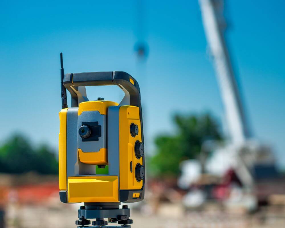
Modern surveying equipment includes advanced Global Navigation Satellite System receivers, robotic total stations, digital data collection systems, and specialized software that allows surveyors to analyze complex property records alongside highly accurate field measurements.
Technology alone, however, does not determine a property’s legal boundaries. Surveying requires professional judgment, legal research, mathematical calculations, and extensive knowledge of property law. Licensed surveyors evaluate historical deeds, recorded plats, easements, adjoining property records, and physical evidence before determining boundary locations.
This combination of technology and professional expertise allows modern surveys to provide property owners with reliable information they can confidently use for construction, permitting, financing, and long term property management.
How Surveys, Plats, and Deeds Work Together
Rather than viewing these documents as competing sources of information, it is more accurate to think of them as complementary pieces of the same puzzle.
The deed establishes who owns the property and provides its legal description.
The plat illustrates how the property fits within a larger subdivision or development and identifies important features such as easements, lot dimensions, and roadways.
The survey applies those legal records to the property’s current physical condition, locating boundaries, improvements, monuments, and other features with professional precision.
Each document serves an important role. Together, they provide property owners with a complete understanding of both the legal and physical characteristics of their land.
When surveyors perform boundary surveys, they routinely review both deeds and recorded plats as part of their research process. This careful analysis helps ensure the completed survey accurately reflects both historical records and current field conditions.
Common Misconceptions About Property Documents
One of the most common misconceptions is that existing fences always represent legal property lines. In reality, fences are frequently installed based on convenience, estimates, or previous assumptions rather than professional surveying. A fence that has existed for many years is not automatically located on the legal boundary.
Another misunderstanding involves county Geographic Information System maps. While online property maps are useful for general reference, they are typically not intended to establish precise property boundaries. Most county mapping systems specifically state that their maps should not be relied upon for legal or surveying purposes.
Many homeowners also believe that purchasing title insurance eliminates the need for a survey. Although title insurance protects against certain ownership issues, it does not physically locate property boundaries or identify every possible encroachment. A survey provides information that title documents alone often cannot.
Finally, some property owners assume that because they received paperwork during closing, they automatically possess a current survey. In many transactions, no new survey is completed unless specifically requested or required. The documents received at closing may include a deed and references to a recorded plat without providing an updated boundary survey.
Know Which Document You Need Before Your Next Project
Understanding the difference between a survey, a plat, and a deed can save property owners significant time, money, and frustration.
A deed establishes legal ownership of your property. A plat illustrates how your lot fits within a subdivision or larger parcel of land. A professional land survey accurately identifies where your property boundaries exist today by combining legal research with precise field measurements.
Each document serves a valuable purpose, but they are not interchangeable. If you are buying property, planning construction, installing a fence, resolving a boundary dispute, or simply want confidence in your property lines, a current land survey is often the most reliable investment you can make.
Before beginning your next project, take the time to determine which document you actually need. Doing so can prevent costly mistakes, simplify permitting, reduce the risk of disputes, and provide peace of mind that your project is built on accurate information.
Working with a licensed land surveying company ensures you receive dependable measurements, thorough research, and professional guidance that protects one of your most valuable investments. Whether you are a first time homeowner or a long time property owner in Virginia, understanding these three essential documents is the first step toward making informed real estate decisions.