Trusted ALTA Surveying for Every Stage of Your Project
Reliable documentation for closings, financing, development, and due diligence.
Licensed Professionals. Verified Boundaries. Trusted Results.
Our surveyors provide consistent, dependable ALTA boundary work tailored to the needs of property owners, developers, lenders, and title professionals. You receive accurate measurements and clear documentation designed to eliminate uncertainty.
Local Expertise
We’re locally owned. We live in the Richmond and Norfolk areas, and we work all over Virginia!
Fast Delivery
Our surveyors don’t get pulled away on large civil projects or for overnight travel. We get the work done fast so that you get results quickly.
Quality Work
We excel at residential, boundary, and ALTA surveys. Because we focus on one area of surveying, you get high-quality work you can trust.
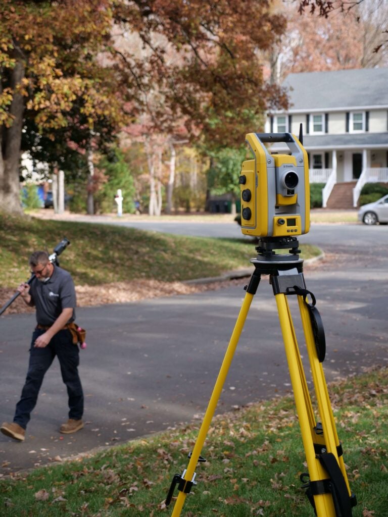
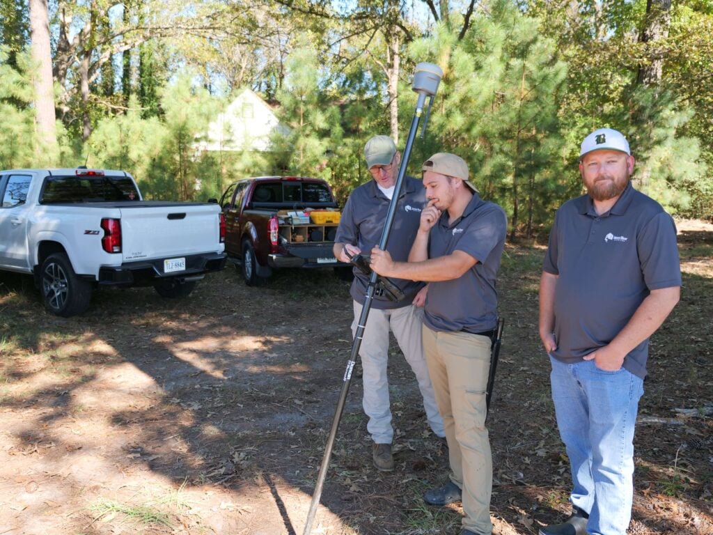
Why ALTA/NSPS Boundary Surveys Matter
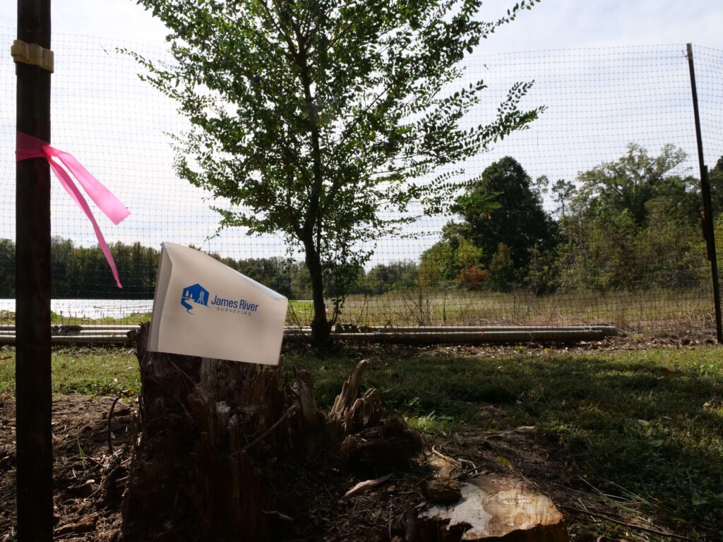
An ALTA/NSPS survey provides a definitive, fully documented picture of your property—establishing legal boundaries, mapping site improvements, and revealing any encroachments that may affect ownership or development. We map easements and exceptions identified by your title search team so that you fully understand what you are buying. By combining advanced technology with industry-standard methods, our team delivers the level of accuracy required for lenders, title companies, and commercial transactions. With clear, dependable survey data, you can move forward with full visibility and confidence.

ALTA Survey FAQs
What is an ALTA/NSPS survey?
An ALTA/NSPS survey is a comprehensive land survey that follows national standards set by the American Land Title Association and the National Society of Professional Surveyors. It provides detailed boundary information, improvements, easements, rights-of-way, and other elements required for commercial property transactions.
Who typically needs an ALTA survey?
ALTA surveys are most commonly required by lenders, title companies, attorneys, and commercial property buyers. They ensure that all parties have reliable, standardized information before financing, acquiring, or developing a property.
How is an ALTA survey different from a standard boundary survey?
An ALTA survey includes additional details not typically found on a standard boundary survey—such as easements identified by a title search, zoning information, and optional Table A items. It provides a more complete and nationally recognized level of documentation.
What are ALTA Table A items?
Table A items are optional survey features requested by the client or lender. These may include topographic data, underground utility markings, parking counts, flood zone classification, or building height information. They allow the survey to be customized to the project’s needs.
How long does an ALTA survey take to complete?
Timeline depends on property size, complexity, and the number of requested Table A items. Most ALTA surveys take between 2–6 weeks, but large tracts or highly developed sites may require more time for research and fieldwork.
What information do I need to provide for an ALTA survey?
We typically need the title binder, previous surveys (if available), and a list of Table A items requested by the lender or title company. Additional documents may be requested for complex commercial sites.
Will an ALTA survey identify encroachments or boundary issues?
Yes. ALTA surveys are designed to reveal encroachments, overlaps, gaps, and other potential boundary conflicts. These findings are clearly documented so clients can resolve issues before closing or beginning development.
Can an ALTA survey be used for construction planning?
Absolutely. Because ALTA surveys offer detailed, standardized, and highly accurate measurements, they are often used as the foundation for site planning, engineering design, and construction layout—especially on commercial projects.
Client Testimonials
"From booking the appointment to having the survey completed, this was quick and easy! So happy to have them come out before we got our fence installed. Highly recommend!"
"James River Surveying made the entire process smooth and stress-free. Bryan, Wes, and the whole team communicated clearly at every step and were always quick to respond."
"This company was AMAZING!!! The customer service was superb (from start to finish) and they delivered me a survey of my property on very short notice. I highly recommend James River Surveying!"
Clear Answers for Every Property Question
Reliable Surveys for Transactions, Development, and Peace of Mind
Understanding your property shouldn’t involve guesswork. Our ALTA/NSPS surveys provide survey data that supports confident decision-making at every stage of a project. Whether you’re preparing for a commercial closing, planning improvements, evaluating risk, or resolving potential conflicts, we deliver precise measurements and thorough documentation. With advanced technology and proven field standards, our team identifies boundary lines, and site features with clarity—ensuring you have an accurate picture of your property.
Ready to Get Your Survey?
Get accurate, reliable surveying services from a trusted local team serving Virginia.