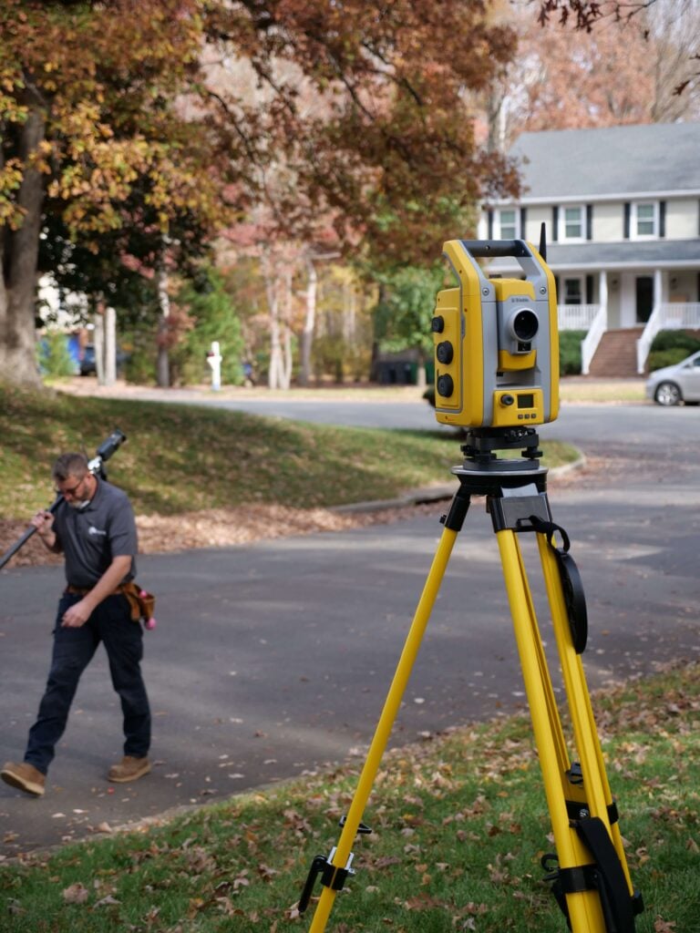

Topographic Surveys You Can Trust
Accurate, detailed mapping for design, engineering, and development.
Accurate Topographic Surveys You Can Depend On
Our licensed survey team delivers detailed elevation data, contour lines, and clear documentation to support your project’s design and development needs. Whether you’re planning grading work, preparing engineering drawings, or evaluating a site for construction, we provide dependable, highly accurate results you can trust.

Local Expertise
We’re locally owned. We live in the Richmond and Norfolk areas, and we work all over Virginia!

Fast Delivery
Our surveyors don’t get pulled away on large civil projects or for overnight travel. We get the work done fast so that you get results quickly.

Quality Work
We excel at residential, boundary, and ALTA surveys. Because we focus on one area of surveying, you get high-quality work you can trust.
Why Topographic Surveys Matter
Every successful project starts with a clear understanding of the land. A topographic survey maps the elevation of the land. Using advanced surveying equipment and precise field methods, we deliver the detailed data that engineers, architects, and contractors rely on for accurate design and efficient construction. With comprehensive, professionally documented site information, you can plan confidently, avoid costly revisions, and ensure your project is built on a solid foundation of reliable data.

Topographic Survey FAQs
What is a Topographic Survey?
A topographic survey maps the physical features and elevations of a property, including contours, slopes, ditches, man-made structures, and other visible site elements. It provides the detailed data needed for design, engineering, and construction planning.
Why do I need a Topographic or Site Survey?
These surveys are essential for planning grading, drainage, utilities, building placement, landscaping, and structural design. Engineers and architects rely on accurate topographic data to create plans that are safe, compliant, and properly aligned with site conditions.
What information does a Topographic Survey include?
A typical topographic survey shows elevation points, contour lines, site features, existing structures, natural elements, and any improvements that may impact design. The scope can be expanded based on project needs.
How is a Topographic Survey used in construction?
Builders and engineers use topographic data to design grading plans, drainage systems, retaining walls, foundations, and infrastructure. The survey ensures that construction aligns correctly with real-world site conditions, reducing unexpected changes later.
How long does a Topographic or Site Survey take?
Most residential topographic surveys are completed within a few days to two weeks, depending on property size, vegetation, terrain complexity, and project scope. Larger or heavily wooded areas may require additional time.
Will the survey show underground utilities?
Topographic surveys typically document visible utility indicators. If underground utility locations are required, we can coordinate with utility locating services to provide marked or mapped utility information as part of the survey.
What’s the difference between a boundary survey and a topographic survey?
A boundary survey defines property lines and corners, while a topographic survey focuses on mapping elevations and physical site features. Many projects require both to ensure accurate planning and compliance.
Can topographic data be customized for engineering or architectural plans?
Yes. We can tailor survey deliverables to match your engineer’s or architect’s required specifications. This includes contour intervals, specific data layers, or expanded site details needed to streamline design and project coordination.
Client Testimonials
"From booking the appointment to having the survey completed, this was quick and easy! So happy to have them come out before we got our fence installed. Highly recommend!"
"James River Surveying made the entire process smooth and stress-free. Bryan, Wes, and the whole team communicated clearly at every step and were always quick to respond."
"This company was AMAZING!!! The customer service was superb (from start to finish) and they delivered me a survey of my property on very short notice. I highly recommend James River Surveying!"

Clear Answers for Every Property Question
Reliable Topographic & Site Surveys for Smart Planning and Confident Building
Every project starts with understanding your land. Our Topographic & Site Surveys deliver detailed, accurate data on contours, elevations, and site features to support design, drainage planning, and engineering. With precise measurements and clear mapping, you can move forward with confidence.
Ready to Get Your Survey?
Get accurate, reliable surveying services from a trusted local team serving Virginia.