
Professional Subdivision & Lot Line Adjustments
Let our licensed survey team subdivide your land or move your boundary lines.
Subdividing & Lot Line Surveys You Can Depend On
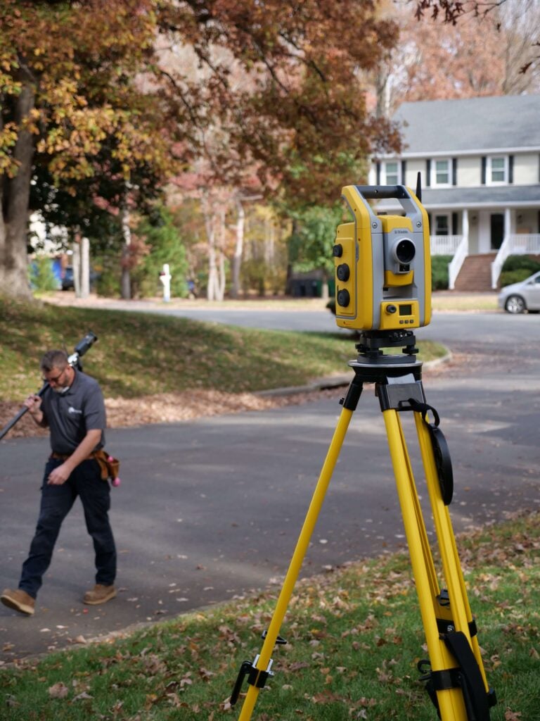
Whether you’re dividing a parcel, combining lots, or shifting a boundary line, we deliver dependable results that meet zoning, legal, and municipal requirements. With accurate measurements and carefully prepared plats, you can move forward with complete confidence. Let us guide you through the process!

Local Expertise
We’re locally owned. We live in the Richmond and Norfolk areas, and we work all over Virginia!

Fast Delivery
Our surveyors don’t get pulled away on large civil projects or for overnight travel. We get the work done fast so that you get results quickly.

Quality Work
We excel at residential, boundary, and ALTA surveys. Because we focus on one area of surveying, you get high-quality work you can trust.
Why Subdividing & Lot Line Adjustments Matter
When changing the shape or boundaries of a property, precision is crucial. Subdivision and lot line adjustment surveys clearly define your land, map existing features, and reveal any conflicts that could impact your plans. Using advanced technology and proven field methods, our team prepares accurate plats and legally sound documentation that meet local zoning and municipal standards. With reliable, verified property information, you can move forward confidently, whether you’re submitting applications, finalizing agreements, or planning future development.

Subdividing & Lot Line Adjustment Survey FAQs
What is a lot line adjustment?
A lot line adjustment is a legal process that modifies the boundaries between two or more existing parcels without creating additional lots. It’s commonly used to correct property line issues, exchange land between neighbors, or better align boundaries with existing structures.
Do I need a survey for a lot line adjustment?
Yes. A professional survey is required to verify current boundaries, document improvements, and create an accurate plat that meets local jurisdiction requirements. Without a survey, most municipalities will not approve the adjustment.
What is a subdivision survey?
A subdivision survey divides a single parcel into two or more new lots. It can be used break off a piece of family land or create multiple lots from something larger.
How long does the subdivision or adjustment process take?
Time varies by locality, but most lot line adjustments take a few weeks to a couple of months. Subdivisions typically require additional reviews and approvals, which can extend the timeline depending on county workflows and project complexity.
Will the county or city need to approve my plat?
Yes. Most jurisdictions require official review and approval of plats related to subdivisions or boundary adjustments. Our survey plats are prepared to meet municipal and zoning standards to streamline this process.
Can a lot line adjustment fix encroachment issues?
In many cases, yes. Adjusting a boundary line can help resolve fence, driveway, or structure encroachments—but only if all property owners involved agree. A survey identifies these conflicts so you can decide the best course of action.
What documents will I receive after the survey?
You’ll receive a detailed plat showing new or adjusted boundaries so that you can get through municipal review, approval, and recording.
Do all property owners need to sign off on a boundary change?
Yes. Any adjustment or subdivision involving multiple parcels requires consent from all affected property owners before it can be reviewed or recorded by the county.
Client Testimonials
"From booking the appointment to having the survey completed, this was quick and easy! So happy to have them come out before we got our fence installed. Highly recommend!"
"James River Surveying made the entire process smooth and stress-free. Bryan, Wes, and the whole team communicated clearly at every step and were always quick to respond."
"This company was AMAZING!!! The customer service was superb (from start to finish) and they delivered me a survey of my property on very short notice. I highly recommend James River Surveying!"

Clear Answers for Every Property Question
Reliable Subdivision & Lot Line Surveys for Confident Planning
Changing a property boundary or creating a new parcel shouldn’t be complicated. Our subdivision and lot line adjustment surveys deliver clear, legally sound data so you can move forward with confidence. With precise mapping and thorough documentation you’ll have what you need to move forward with your plans.
Ready to Get Your Survey?
Get accurate, reliable surveying services from a trusted local team serving Virginia.